The satellite applications sector delivers a wide range of social, environmental, and economic benefits to the citizens of Europe and of the world.
Space systems, especially Earth observation satellites, proved to be an effective tool to measure and monitor climate change and, most importantly, to help mitigate its consequences by reducing the uncertainties about future projections on resource management at the local, national, regional, and global levels.
Remote Sensing has many attractive features to build environmental instruments.
It provides accurate and objective data, and it can easily be adapted to specific areas and regions.
EO helps assessing the sustainability of human activities by measuring soil quality, water supply and consumption, and GHG emissions, among other indicators.
This increases both the amount and quality of data that decision-makers need nowadays to implement sustainable development strategies.
However, satellites are often still considered as technology demonstrators rather than as components of a critical communication and information-based infrastructure to optimise decision-making processes.
Indeed, a gap still exists among the operational infrastructure already in place, the data that are gathered every day, and those who should actually use them to take well-informed and evidence-based decisions.
Our workshop
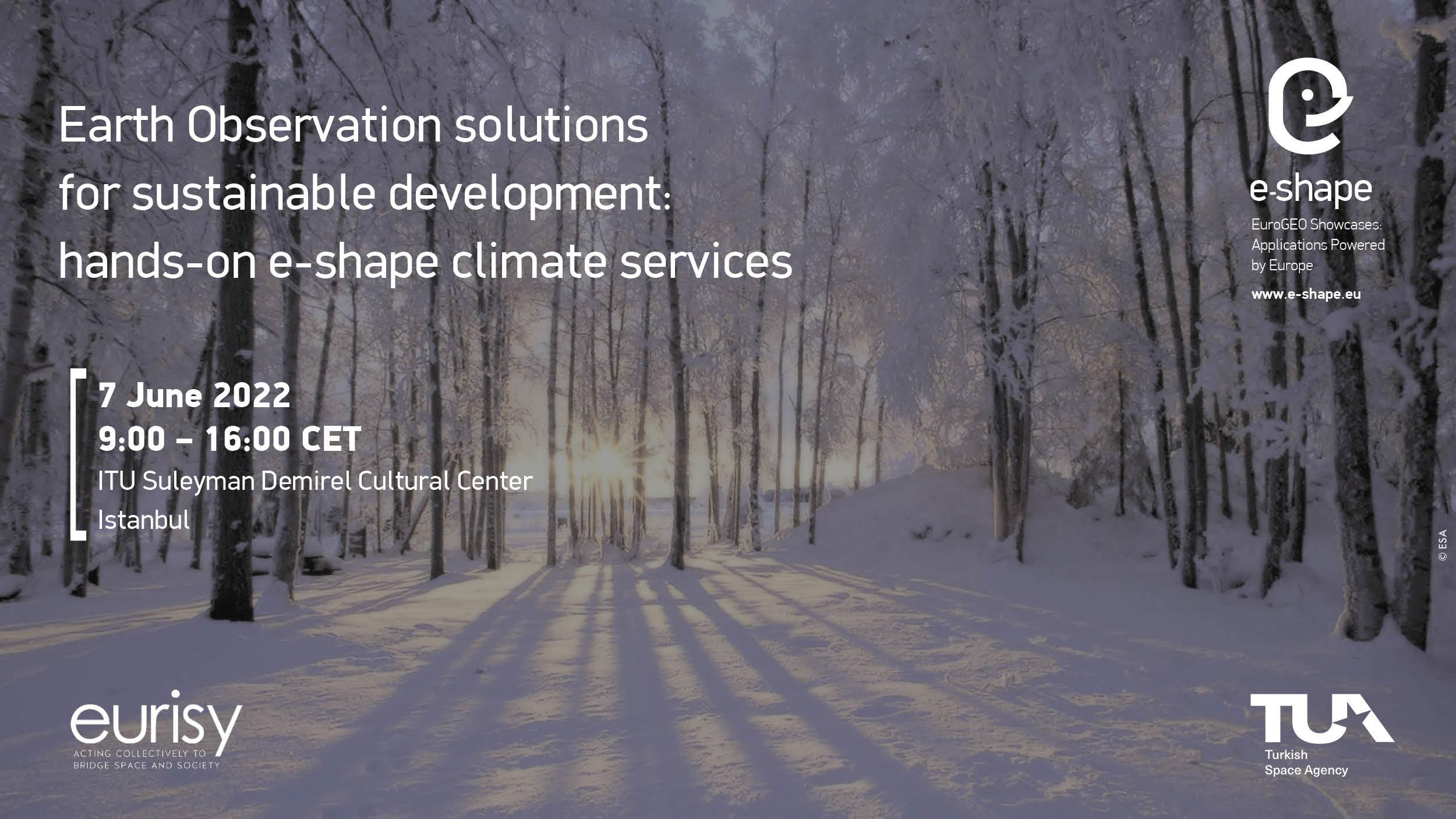
This workshop is an e-shape labelled event and will present some of the project’s pilots related to sustainable development and climate change.
The first part of the workshop will introduce the audience to EO market trends and the potential of satellite applications to benefit specific user communities. Focus will be placed on policy development and funding opportunities.
The second part of the event will showcase the pilot projects and their products and explain how these are co-designed by the developers in collaboration with user communities and policy makers.
The presenters will provide hands-on training on the products and explain their added value for user communities.
The audience will be actively engaged through Q&A sessions and live polls and asked to provide feedback that could feed into the co-design methodology.
Objectives
This e-shape workshop will:
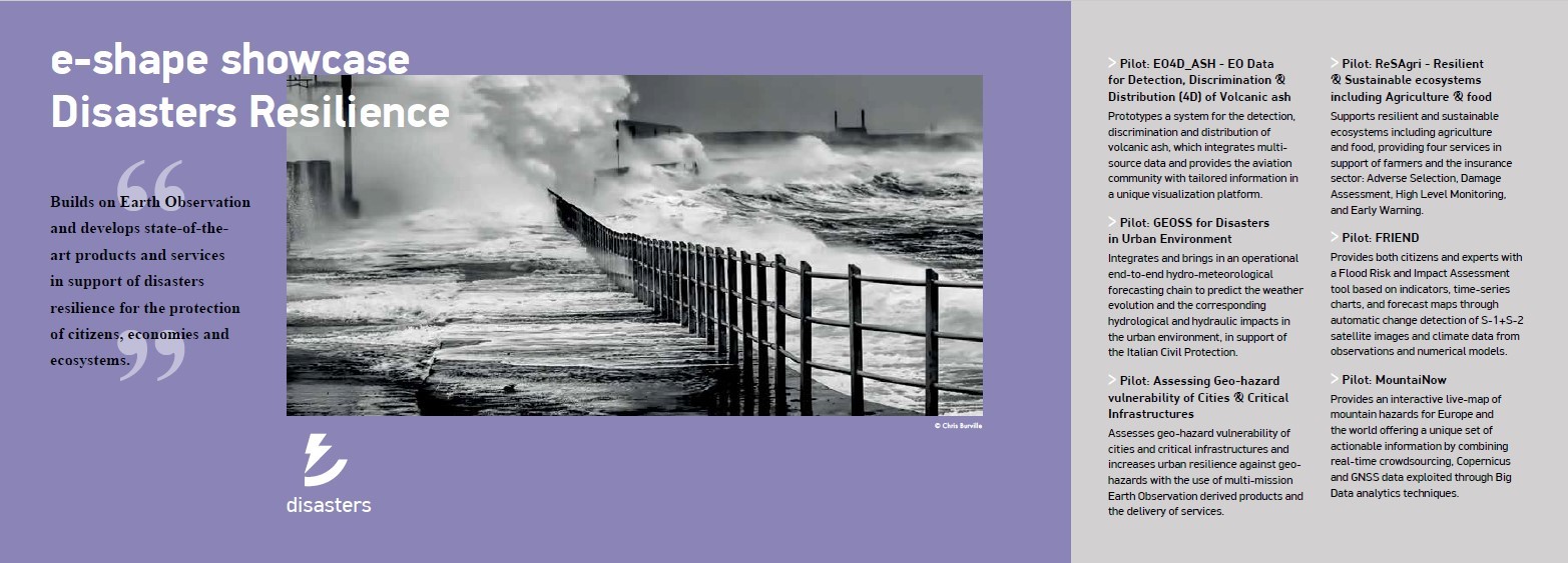
- Introduce EO-based applications developed through the project within the 7 e-shape thematic showcases: Agriculture, Health, Energy, Ecosystem, Water resources, Disaster Resilience, Climate;
- Explain how EO-based applications can be integrated into the daily operations of user communities;
- Bring together representatives from the industry, academia, policy and civil society interested in understanding and contributing to the EuroGEO initiative;
- Inform participants about the advantages of the pilot services to access Copernicus data and benefit user communities;
- Discuss the challenges and opportunities related to the use of EO-based applications;
- Inject thoughts into the co-design methodology to develop EO services to be used by civil society.
About e-shape
e-shape is a 48-month project under the framework of Horizon 2020 and constituted by a pan-European team of academic, industrial, institutional and user communities.
It is a unique initiative that brings together decades of public investment in Earth Observation and in cloud capabilities into services for the decision-makers, the citizens, the industry, and the researchers.
It allows Europe to position itself as a global force in Earth observation by leveraging Copernicus, making use of existing European capacities, and improving user uptake of data from GEO assets.
