Within the Copernicus&Me initiative, we interviewed 11 European organisations to bring you simple and readable case studies reporting on their experience of use of satellite-based services.
Ten of them provided us with information that we could present in an aggregated analysis.
READ AND DOWNLOAD THE CASE STUDIES
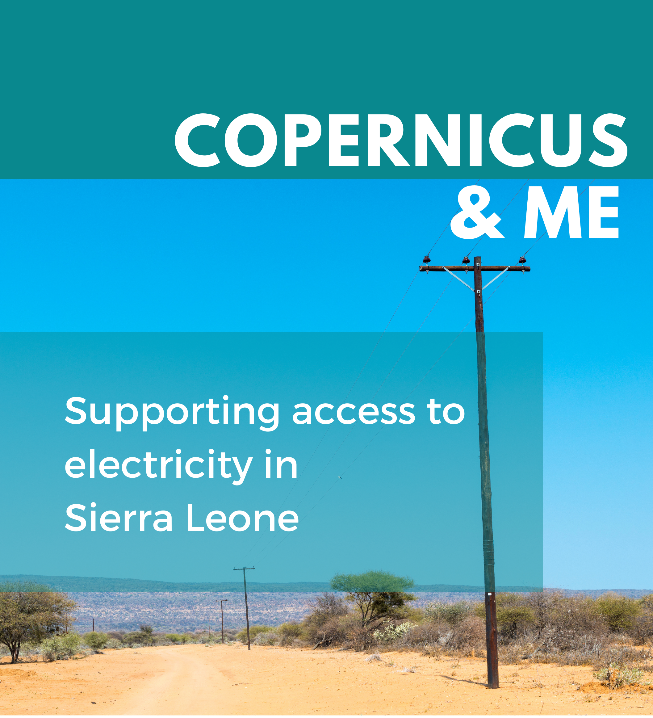
VIDA: Supporting access to electricity in Sierra Leone
- Decision-makers in low- and middle-income countries often lack information to plan electrification in rural areas.
- With Sentinel-1 and Sentinel-2 imagery it is possible to visualise such information on maps.
- Thanks to satellite-based maps governments can take informed decisions to carry out the electrification process.
READ THE FULL STORY
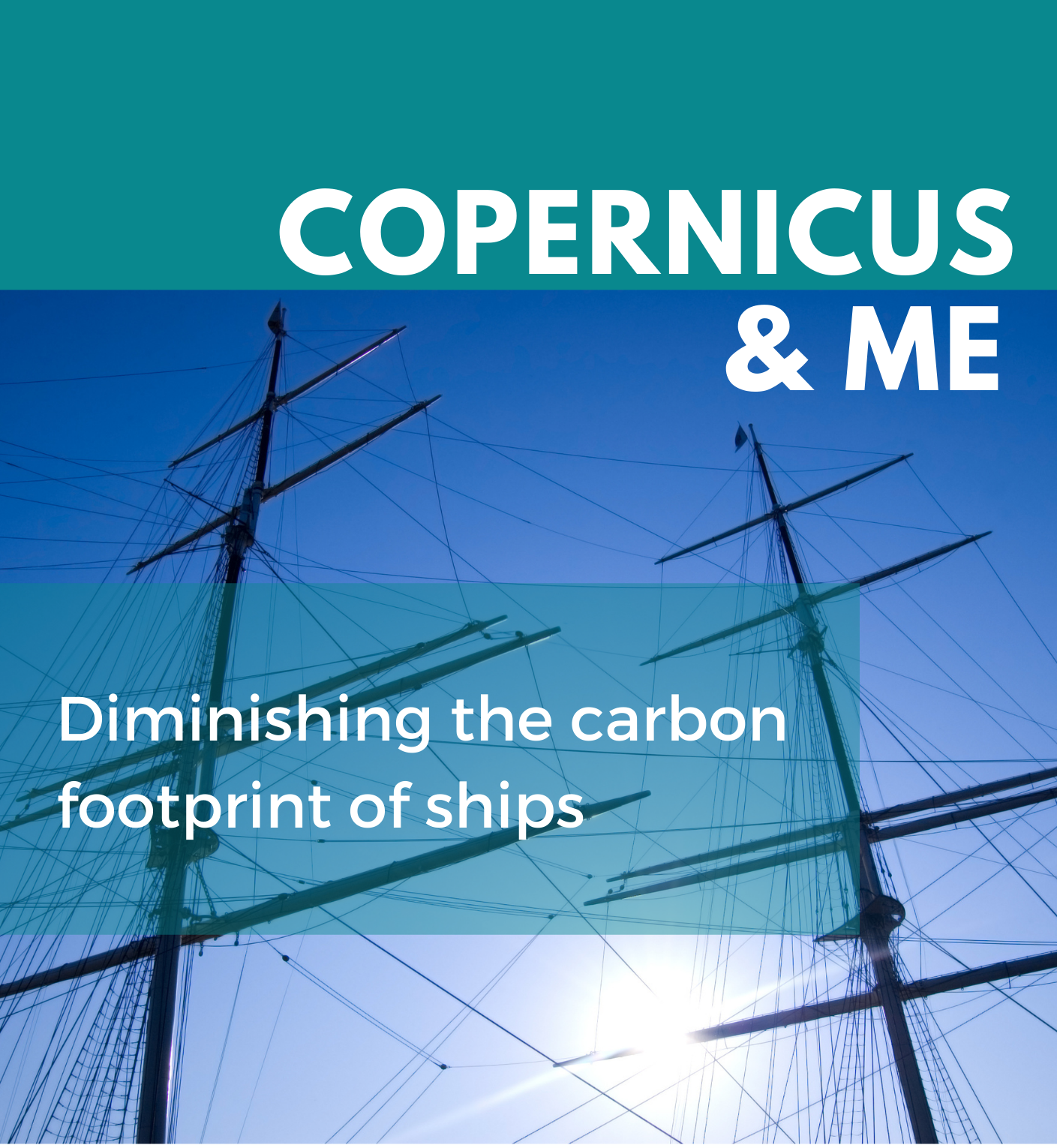
D-ICE: Diminishing the carbon footprint of ships
- The French SME D-ICE was looking for ways to decrease the carbon footprint of ships.
- Copernicus satellites provide historical data on weather, wind, waves and sea currents on sea routes to support wind-propelled ships.
- Using these historical data, ships can take routes with low power consumption.
READ THE FULL STORY
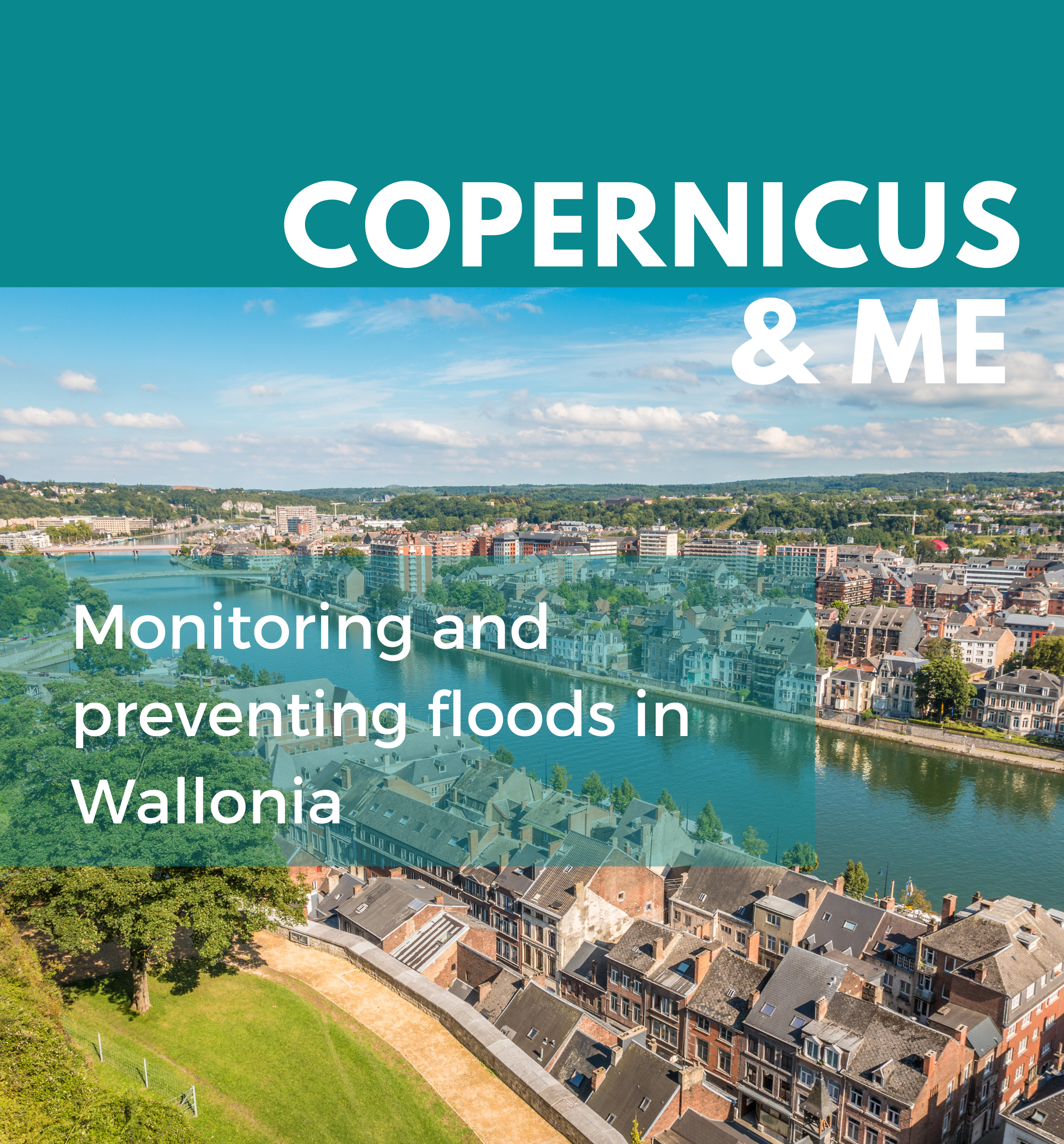
Monitoring and preventing floods in Wallonia
- The Public Service of Wallonia needs reliable and up-to-date information on flood risks.
- Sentinel-1 and Sentinel-2 data allowed for the creation of land cover and land use maps of the regional territory.
- With the maps, the PSW can comply with the EU floods directive, and design flood risk management plans.
READ THE FULL STORY
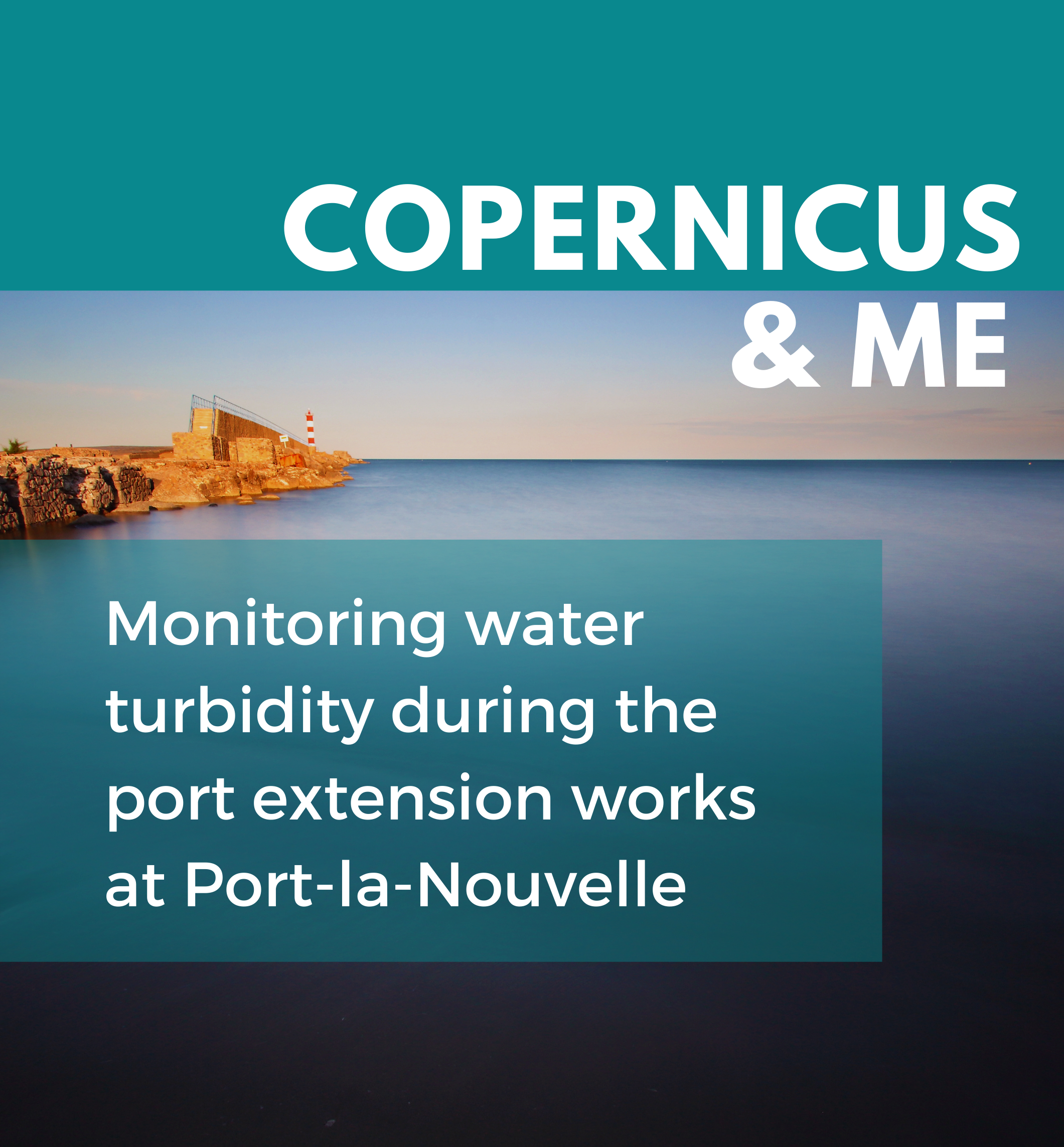
Monitoring water turbidity during the port extension works at Port-la-Nouvelle
- The Occitanie region needed to monitor water turbidity.
- Data from Sentinel-2 and Sentinel-3 provided a “water turbidity weather forecast” nearby the works.
- Damage to the nearby natural areas was avoided while extending the port.
READ THE FULL STORY
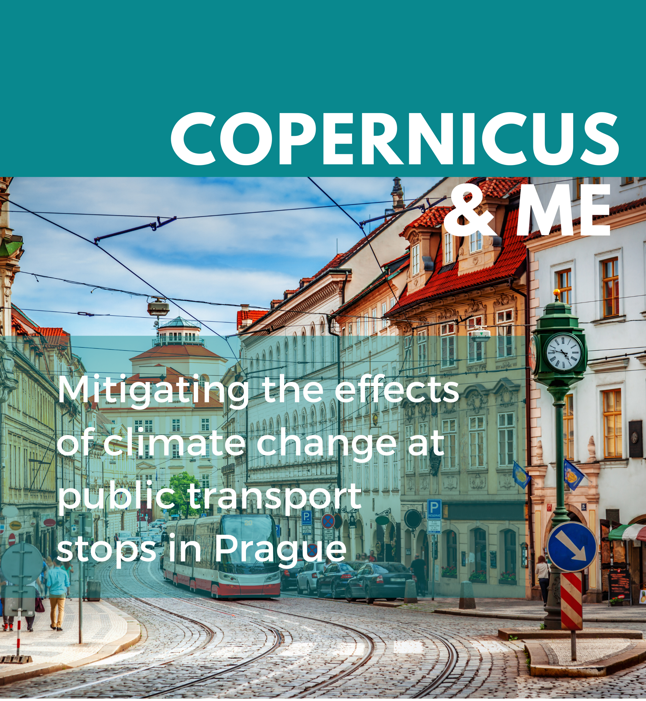
Mitigating the effects of climate change at public transport stops in Prague
- The city of Prague wanted to visualise heat vulnerability nearby public transport stops.
- Data from Sentinel-2A allowed the city to realise the urban heat vulnerability map of Prague.
- Transport stops most vulnerable to heat were adapted and made more comfortable for citizens and tourists.
READ THE FULL STORY
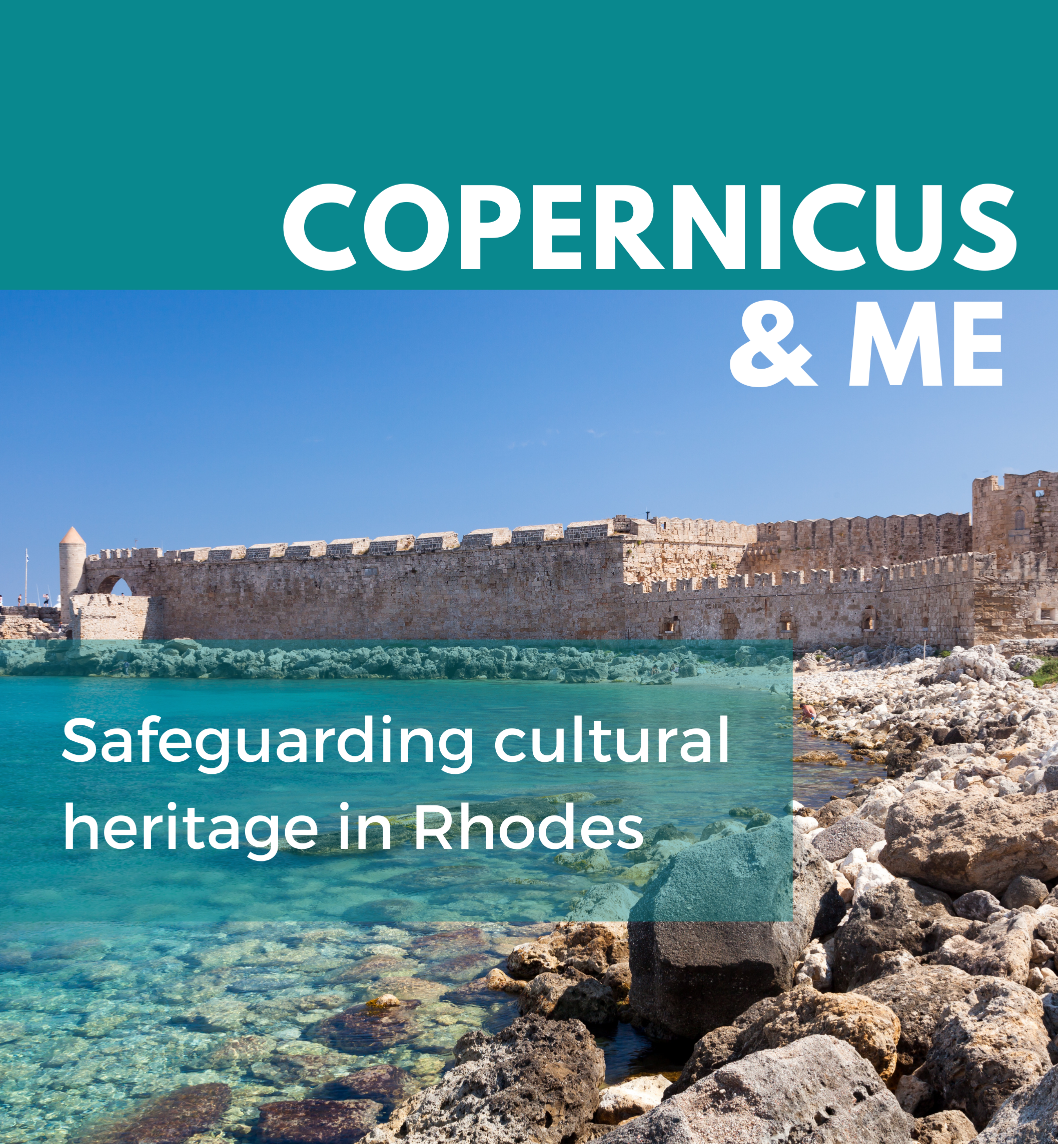
Safeguarding cultural heritage in Rhodes
- The Ephorate of Antiquities of the Dodecanese needed to monitor soil movements nearby archaeological remains.
- Data from Sentinel-1 allowed for the creation of soil deformation maps of the area.
- The Ephorate can foresee the effects of soil movements and take measures to secure and restore monuments.
READ THE FULL STORY
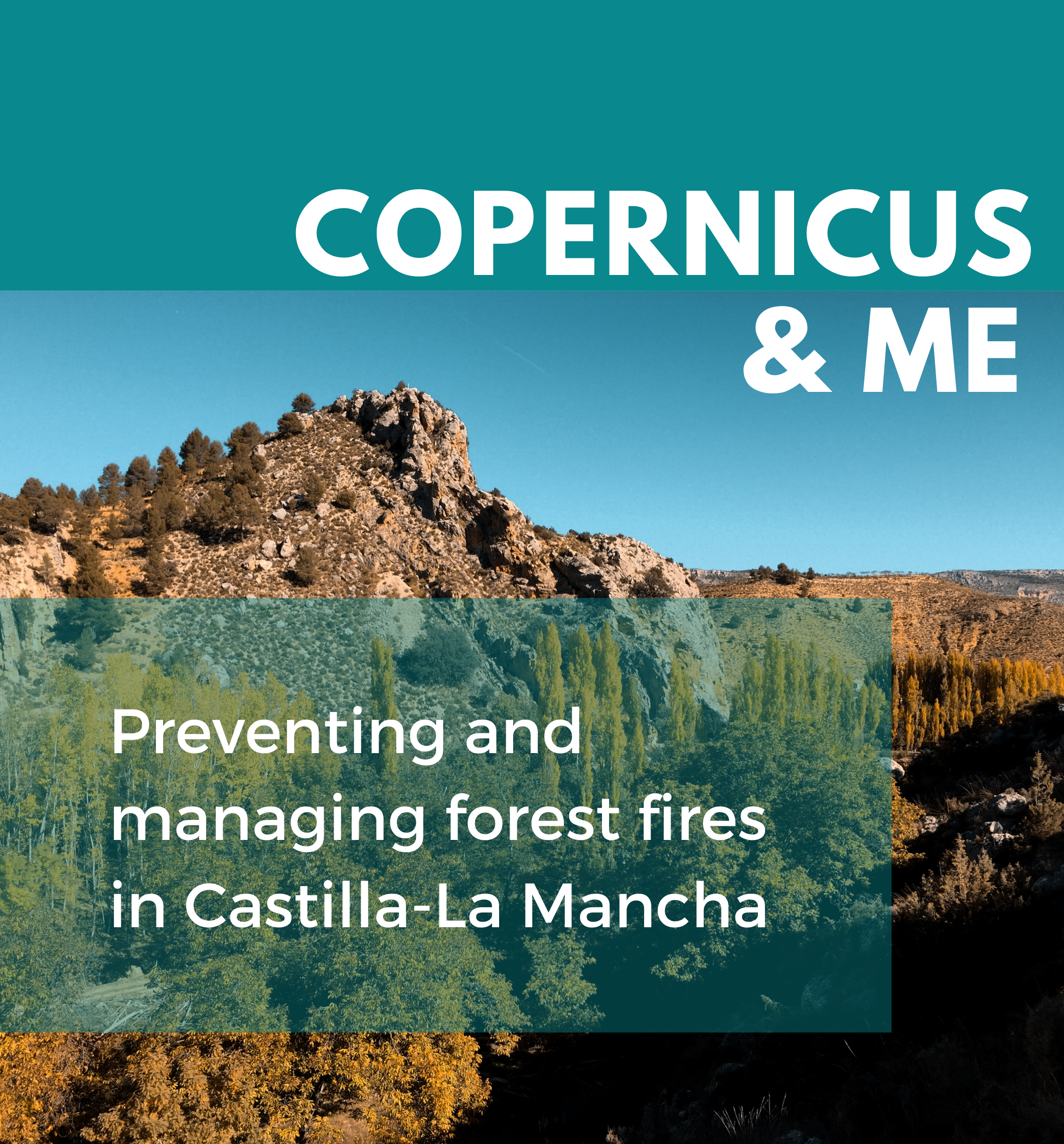
Preventing and managing forest fires in Castilla-La Mancha
- The Government of Castilla La-Mancha needs reliable and up-to-date information on the variables that can favour fires and on the affected forest areas.
- Copernicus satellites provide data to both prevent and manage forest fires.
- The data provided by Copernicus have highly contributed to decreasing uncertainty and increasing preparedness against forest fires in the region.
READ THE FULL STORY
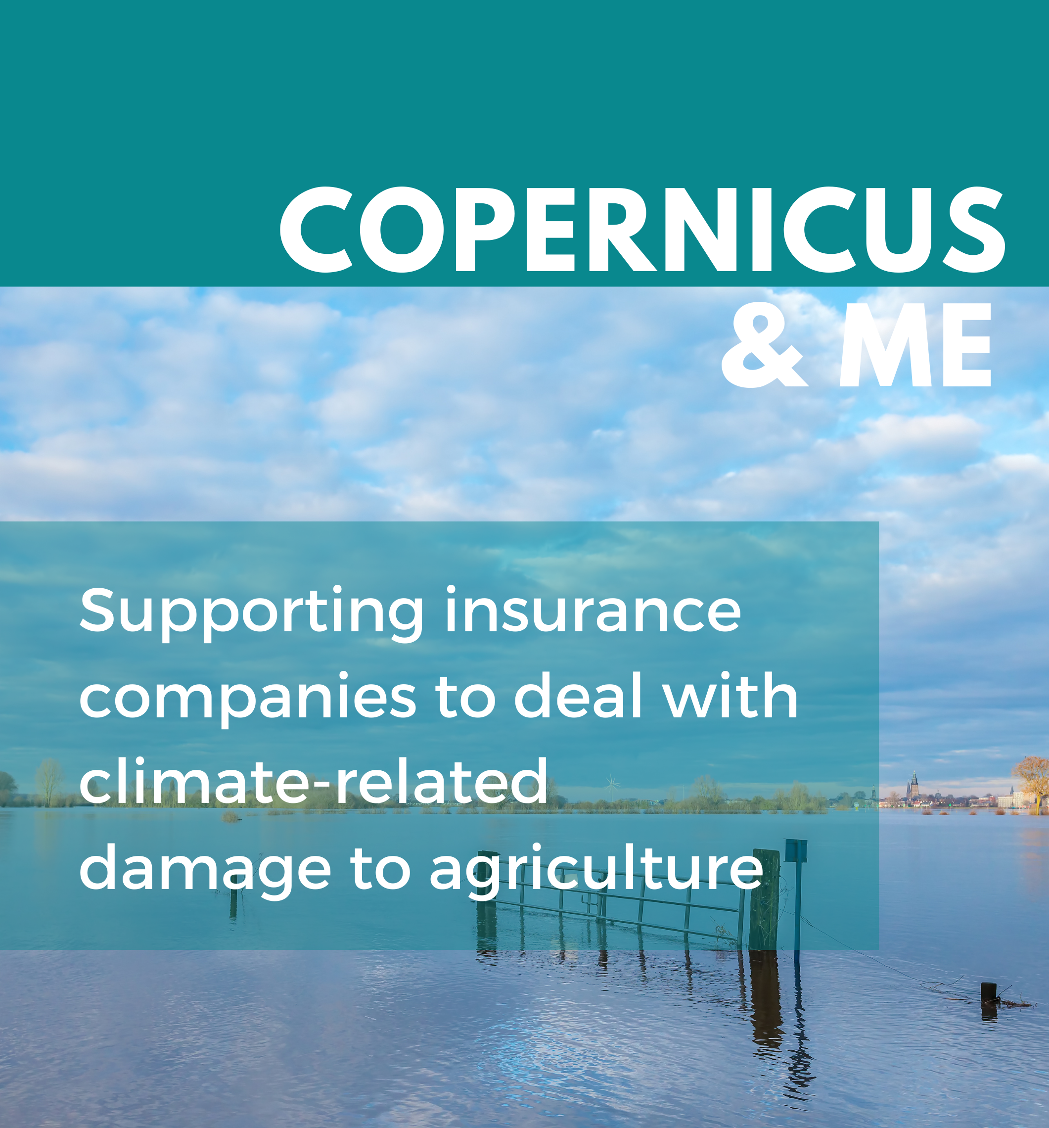
Supporting insurance companies to deal with climate-related damage to agriculture
- Increasing climate change makes it difficult to foresee and assess the economic losses caused by weather-related disasters.
- DSE, a French SME, combines artificial intelligence and Sentinel-1 and Sentinel-2 data to estimate agricultural damage caused by weather-related events.
- This system allows insurance companies to save money and time for damage assessment and to avoid frauds.
READ THE FULL STORY
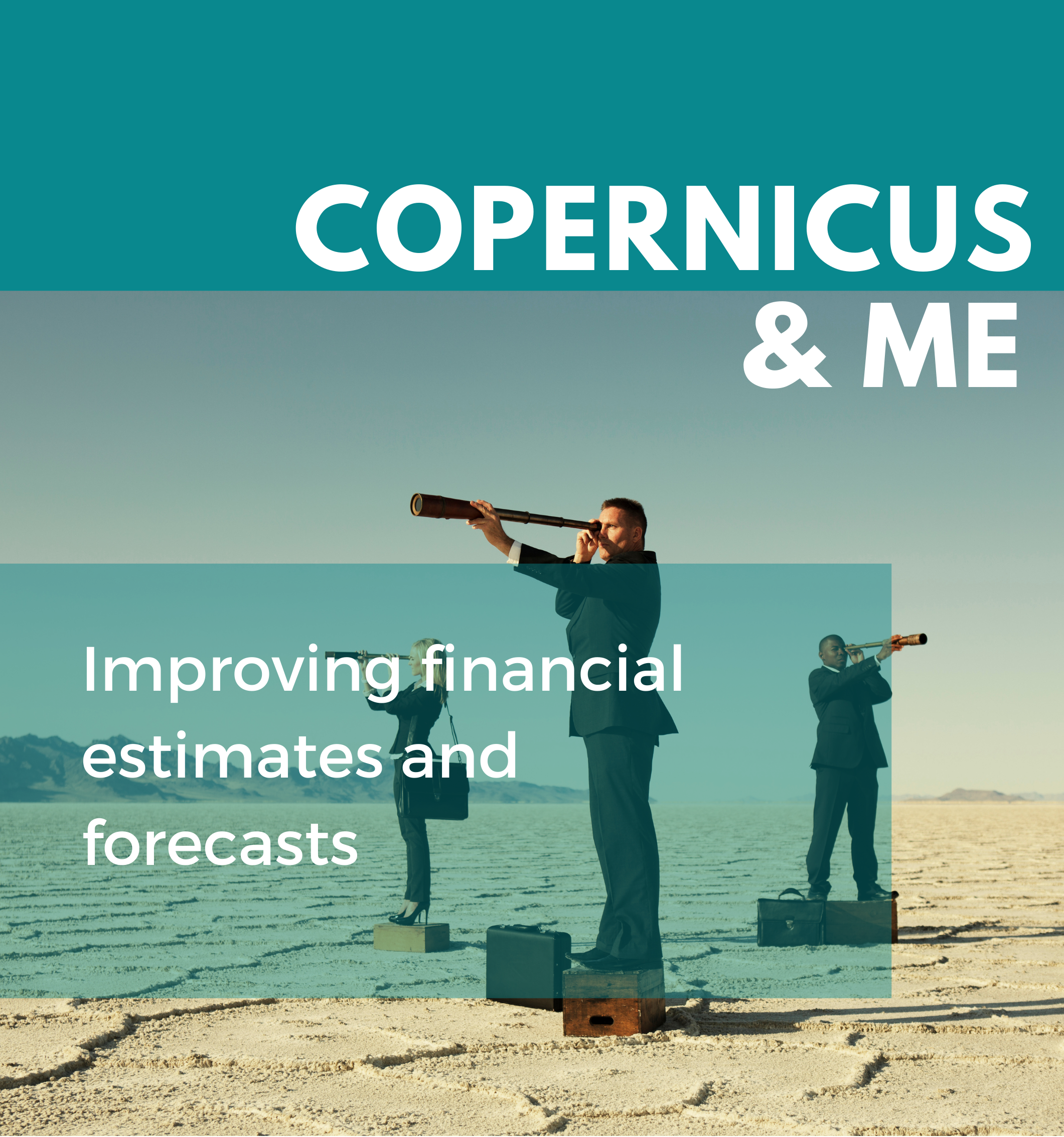
Improving financial estimates and forecasts
- The lack of real-time data makes it hard to assess and estimate economic growth and business opportunities comparably in different geographical zones.
- QuantCube, a French SME, uses satellite-based data to provide economic indicators in real-time.
- Using Copernicus data, QuantCube can enhance its macroeconomic indicators with granular, reliable and transparent data.
READ THE FULL STORY
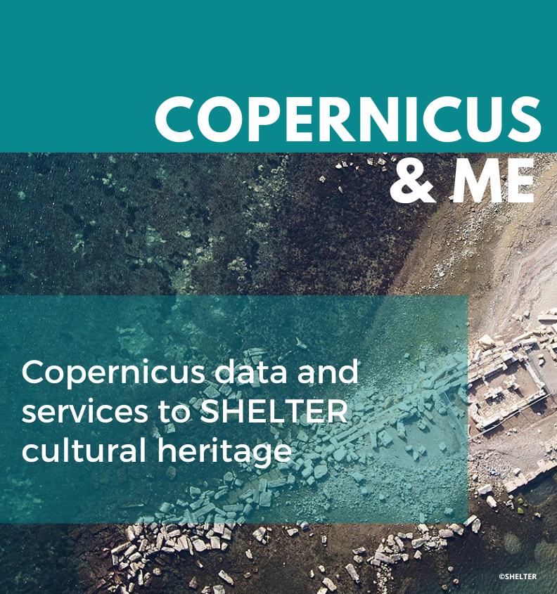
Copernicus data and services to SHELTER cultural heritage
- There is an increasing need for accurate and harmonised data on land cover in multi-national projects aimed at safeguarding cultural heritage.
- Ekodenge, a Turkish SME, uses data on land cover from Sentinel-1 and Sentinel-2 to map risks around cultural heritage sites.
- The Sentinel data will be used to propose measures to increase the resilience of cultural heritage sites and make recommendations on “building back better” techniques.
READ THE FULL STORY
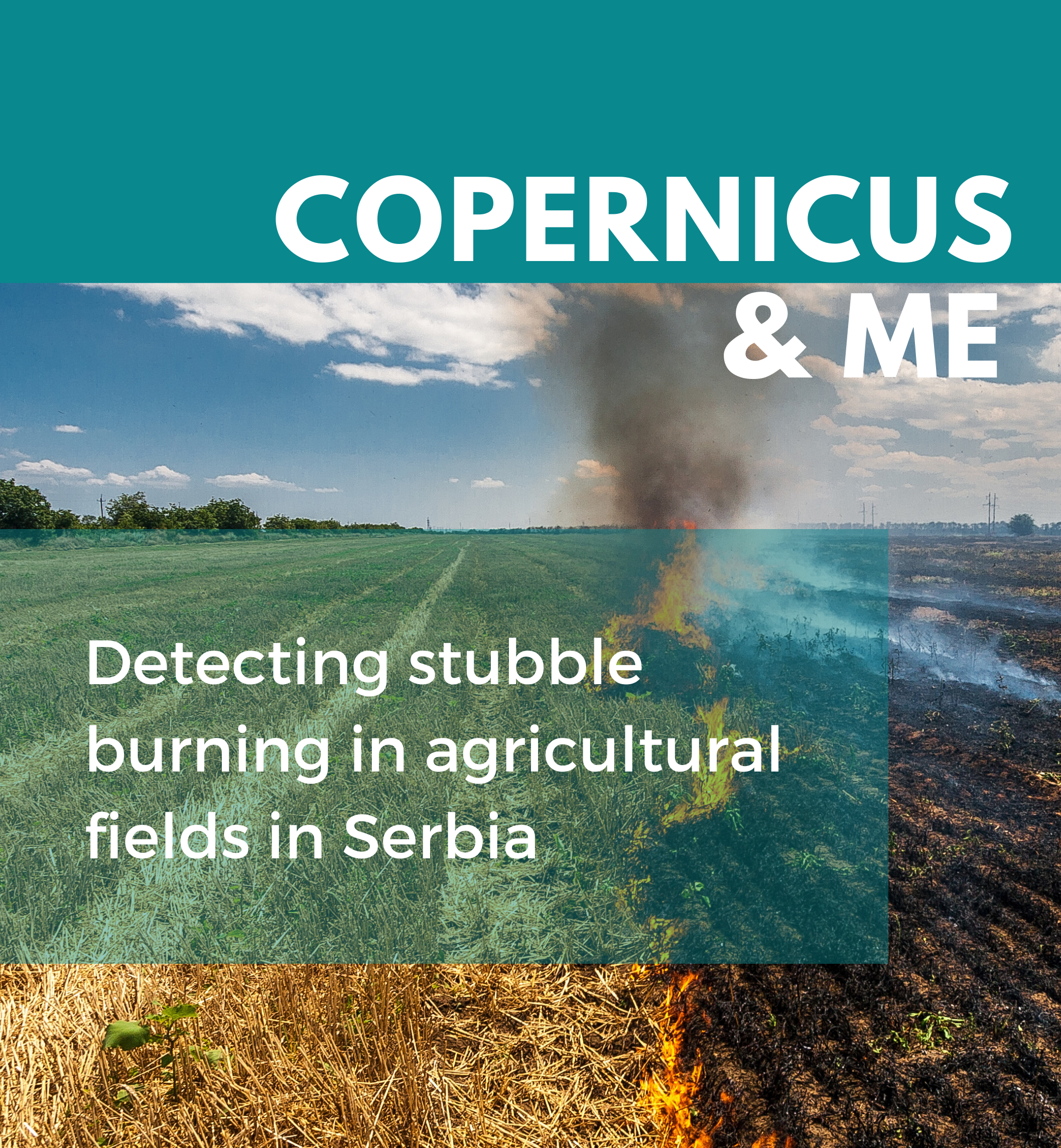
Detecting stubble burning in agricultural fields in Serbia
- Stubble burning is a common practice in cultivated fields in Serbia, threatening the health and safety of the territory.
- With the support of the BıoSense Instıtute, UNDP Serbia created a web gıs portal to detect open fıres usıng data from Sentınel-2.
- The portal allows the government to detect stubble burnıng and to undertake evidence-based actions against this practice .
READ THE FULL STORY