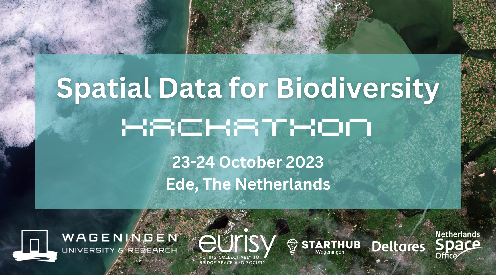
Spatial Data for Biodiversity Hackathon
Monday 23 – Tuesday 24 October 2023
Free participation
Fully paid accommodation at the beautiful Akoesticum for the first 20 registered participants!
2 days to create innovative digital applications of biodiversity-themed spatial data!
Are you an entrepreneur, a data scientist, a biodiversity expert, or a GIS enthusiast ? This is your chance to help land-use decision makers to visualise the impact of multiple stressors on biodiversity. Join the hackathon and help building state-of-the-art solutions to preserve biodiversity in the Netherlands!
Wageningen University and Research (WUR) and Eurisy, with the support of StartHub Wageningen, organise this Hackathon on 23-24 October 2023 on the issue of “Spatial Data for Biodiversity”.
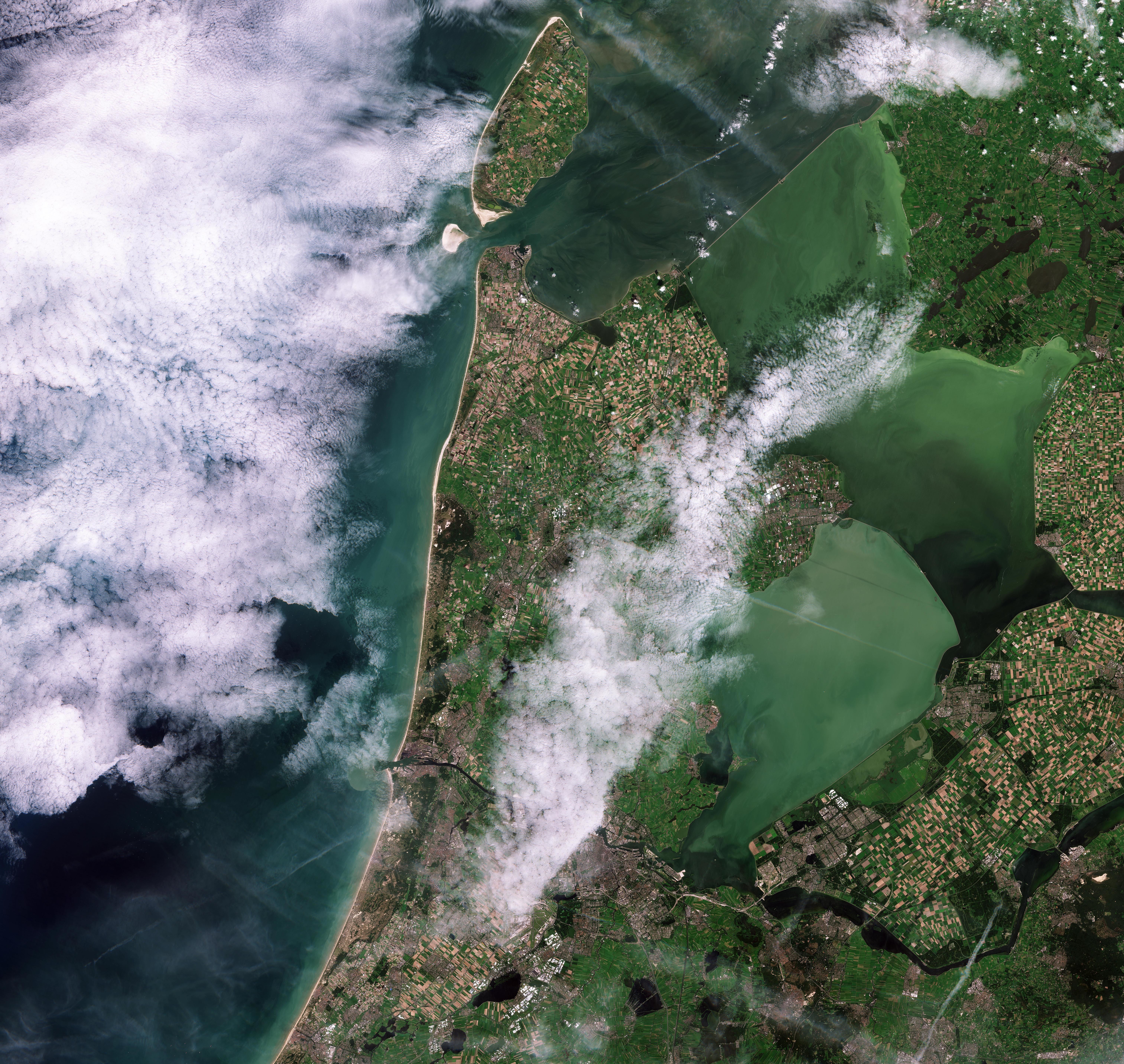
The hackathon will challenge teams to use provided spatial data related to biodiversity (stressors and habitats) to make biodiversity risk maps. Participants will work towards a mapping tool for understanding the cumulative risk to biodiversity in a given area, by solving spatial data gaps using AI, machine learning and any state-of-the-art spatial data science tools.
Participants will be supported by space, data, biodiversity and innovation experts to build their projects.
The ideas which best meet the needs of entities in charge of managing biodiversity in the Netherlands will be awarded prizes and support to further develop their concepts. On top of that the maps produced in this hackathon will be used by public managers to better preserve biodiversity in the Netherlands and beyond!
Why this matters
Biodiversity is essential. Fostering biodiversity is crucial for the long-term sustainability of ecosystems and human societies. Knowing about the cumulative risks to biodiversity and the spatial distribution of the stressors impacting biodiversity is essential to implement sustainable land use practices.
It is crucial for policy makers, business owners and advisors to be aware of how, and where stress to biodiversity accumulates in order to make informed decisions, take mitigated risks and give appropriate advice.


Teams
The Spatial Data for Biodiversity Hackathon is open to entrepreneurs, start-ups, coders, researchers, scientists, EO specialists, GIS enthusiasts, UI specialists, biodiversity experts, and anyone who is interested in spatial data for fostering biodiversity as a solution to preserve ecosystsems and societies.
Each team will include a maximum of five persons. Hackathon participants are expected to have skills in at least two of these fields: Earth Observation, Geographic Information Systems, Artificial Intelligence, User Interface, biodiversity, nature conservation, data analysis, data visualisation, app development, web service development, graphic design, programming, project management, entrepreneurship, business development, information technology, software development, geomatics, and surveys.
Anyone with at least two of these skills is encouraged to register and take part in this exciting and rewarding experience.
Awards
There will be several awards and prizes:
- Awards up to 1.500 euros.
- Membership to StartHub for the top 5 teams.
- Access to StartHub mentoring and coaching network.
- Hands-on support for product development.
- More prizes to be announced!
Funded by: MOLAS Multiple Stressors to biodiversity on Land and Sea project