Coastal Inundation Risk (CIRIS): Protecting Arctic Heritage
THETIDA
THETIDA, a Horizon Europe project focused on cultural heritage and climate resilience, is developing the CIRIS tool to assess and monitor coastal flood risk in Arctic regions. Coordinated by the National Technical University of Athens (NTUA), the initiative brings together international partners to safeguard vulnerable heritage sites from the growing impacts of climate change.
The challenge
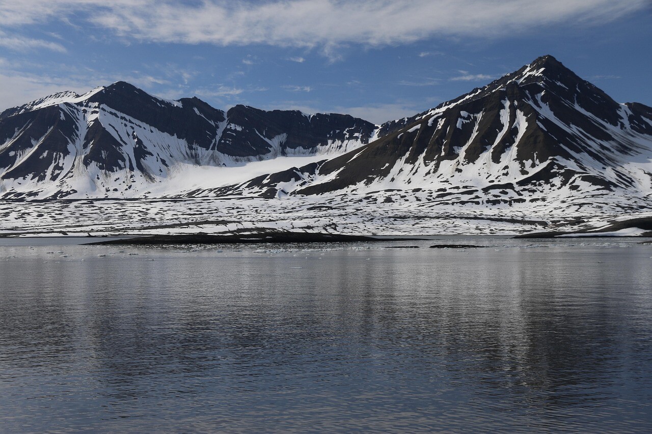
The Arctic is one of the world’s most rapidly changing regions. Accelerated sea level rise and land subsidence increase the risk of coastal flooding, threatening both fragile ecosystems and historically significant sites. In places like Svalbard, these challenges are compounded by sparse observational data and limited ground-based infrastructure. Sites such as the Hiorthhamn Coal Cableway Station—a key remnant of Arctic industrial history—are especially vulnerable, yet lack tailored tools for flood risk evaluation that consider both environmental and cultural contexts.
The satellite solution
To address this gap, NTUA developed CIRIS (Coastal Inundation Risk tool), which integrates Copernicus Earth Observation data with hydrographic models. Sentinel-1 InSAR data is used to measure ground deformation, while sea level rise trends are sourced from the Copernicus Marine Service. Together, these datasets enable CIRIS to produce dynamic, high-resolution flood risk maps that account for both vertical land movement and ocean dynamics. Unlike traditional models, CIRIS offers a more localized and accurate view of flood hazards in Arctic zones, and is designed to be open-source and easily adapted to new sites.
The results
- CIRIS has been deployed at the Hiorthhamn Coal Cableway Station in Svalbard to assess future flood risks
- Delivers improved risk assessments by combining land subsidence and sea level rise
- Supports cultural heritage managers, researchers, and local authorities with actionable data for climate adaptation
Designed for scalability, CIRIS is freely available on GitHub, enabling its use in other high-risk coastal regions globally