Tracking and Forecasting Greenland Icebergs for Maritime Safety
The Danish Meteorological Institute (DMI) and the Nansen Environmental and Remote Sensing Centre (NERSC)
The Danish Meteorological Institute (DMI) is Denmark’s national center for weather, climate, and sea ice monitoring, with strong expertise in polar forecasting. The Nansen Environmental and Remote Sensing Centre (NERSC) is a Norwegian research institute specializing in Arctic and oceanographic studies, particularly the use of remote sensing and modeling for environmental monitoring.
The challenge
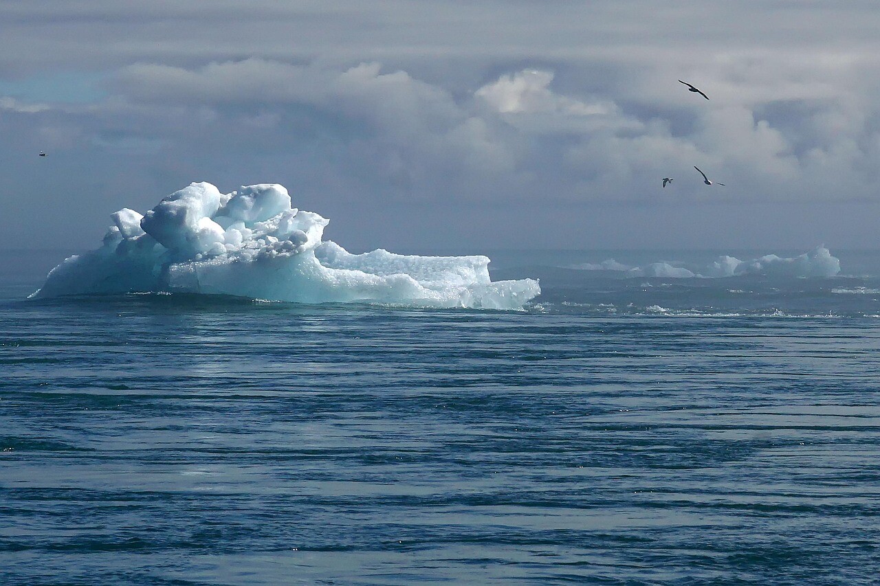
Large icebergs off the coast of Greenland represent both an environmental hazard and a navigational challenge. In July–August 2024, a 4 × 2 km tabular iceberg drifted southeast of Greenland before breaking into smaller fragments, many too small to be seen from a ship’s deck. Over a six-week period, the iceberg lingered near tourist shipping routes, becoming a risk hotspot for cruise vessels operating in the area. Real-time tracking and accurate forecasting of its movement and disintegration were critical for ensuring maritime safety and operational planning.
The satellite solution
The DMI, supported by the NERSC, implemented a remote sensing-based monitoring system. The iceberg was continuously tracked using high-resolution satellite data. The OpenBerg drift model simulated iceberg trajectory by integrating:
- Ocean current data from TOPAZ5 (Copernicus Marine Service)
- Wind forcing from ERA5 (Copernicus Climate Change Service)
The integrated output of observational tracking and numerical modelling was visualised via the NARVAL portal, enabling both real-time monitoring and forecast-based risk assessments.
The results
- Enhanced Maritime Safety: real-time tracking and forecasting reduced collision risk for vessels operating near the drifting iceberg.
- Improved Iceberg Forecasting: combining Copernicus Marine and Climate data allowed more accurate drift simulations and structural evolution predictions.
- Support for Cruise and Tourism Industry: monitoring and information sharing enabled better planning and risk mitigation for cruise operations in iceberg-prone zones.
- Operational Collaboration: real-time data exchange between DMI and NERSC ensured informed decision-making and strengthened remote sensing capabilities for future events.