Our Talk with TV-Agri on how space technologies support the agricultural sector

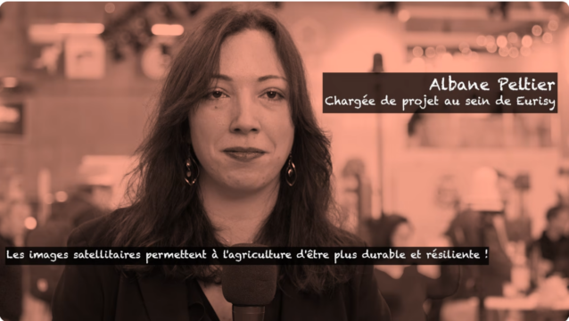
During the Paris International Agricultural Salon, Albane Peltier, Project Officer at Eurisy, had the opportunity to be interviewed by a media channel dedicated to agricultural users, including farmers, institutions, and private companies. During the discussion, she shared Eurisy’s mission and highlighted the many ways space technologies already support the agricultural sector.
She focused mainly on:
- Satellites in agriculture: Maps created from satellite data help monitor crops, optimise irrigation, and reduce costs. This results in fewer inputs, less water used, lower expenses, and better management of fields.
- Satellites during floods: The Copernicus Emergency Management Service (CEMS) provides rapid maps to assess impact and guide interventions. She illustrated this with the concrete example of the service being activated in France on 11 February 2026 for flooding near Bordeaux, showing how it helps produce maps quickly to support authorities and farmers in anticipating impacts and organising responses.
Watch the full interview!