Connecting with the Agricultural Community at the Paris International Agricultural Show
 Stepping directly into the heart of society, Eurisy met the Agricultural sector at the Paris International Agricultural Salon. Every year, it brings together the entire agricultural ecosystem: farmers, institutions, innovators, international delegations, and, true to tradition, farm animals are also at the centre of the dialogue. This year’s edition brought together over 1,100 exhibitors, including an entire pavilion devoted to Innovation and New Technologies in agriculture, the ideal environment to engage directly with experts, current users, and potential future users of space-based solutions.
Why going to the Salon? Agriculture is one of Eurisy’s core thematic areas. Space data is now an essential component of modern farming, supporting crop monitoring, risk management, sustainable practices, and responses to climate‑related challenges. But while space solutions hold enormous potential, their real value emerges only when they meet the everyday needs of those working on the ground. By stepping outside the “space bubble,” we wanted to better understand farmers’ challenges, their current use of satellite data, where solutions succeed, and where they fall short.
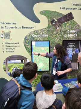
 Who did we meet? At the EU Commission booth, the DG DEFIS team put on display satellite images and the interactive Copernicus Browser, attracting the public. In the Innovation pavilion, Airbus presented FarmStar, their precision‑agriculture service. The Airbus team also shared insights from their long‑running collaboration with the French Ministry of Agriculture on the Grassland Production Index, which uses satellite imagery and weather data to estimate annual grass growth and trigger insurance payouts when production falls below historical averages.
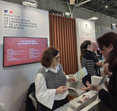
After talking to space experts, we discussed with public entities. Engaging with the French Agriculture Ministry, our discussion led us to education, and explaining how the integration of space-based content in the French agriculture high schools could be beneficial to the students and the overall domain.
While talking to other users, we were positively surprised by the use of space data by national French organisations.
- Seine Grands Lacs, a public authority responsible for managing large reservoir lakes that protect the Île‑de‑France region from flooding, uses satellite imagery to anticipate and monitor flooding risks;
- Office National des Forêts, France’s national agency charged with managing public forests, safeguarding biodiversity, and preventing natural hazards, uses satellite observation for wildfire detection and monitoring.
- Conservatoires d’Espaces Naturels, the national network dedicated to protecting natural areas, preserving habitats, and monitoring local fauna and flora, uses QGIS and spatial data to delimit and monitor protective spaces.
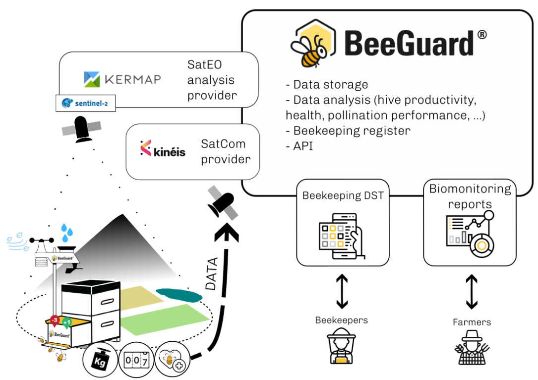
We also discovered Beeguard, an innovative project supported by the European Space Agency (ESA) that enhances biomonitoring and biodiversity protection through a system of connected beehives.
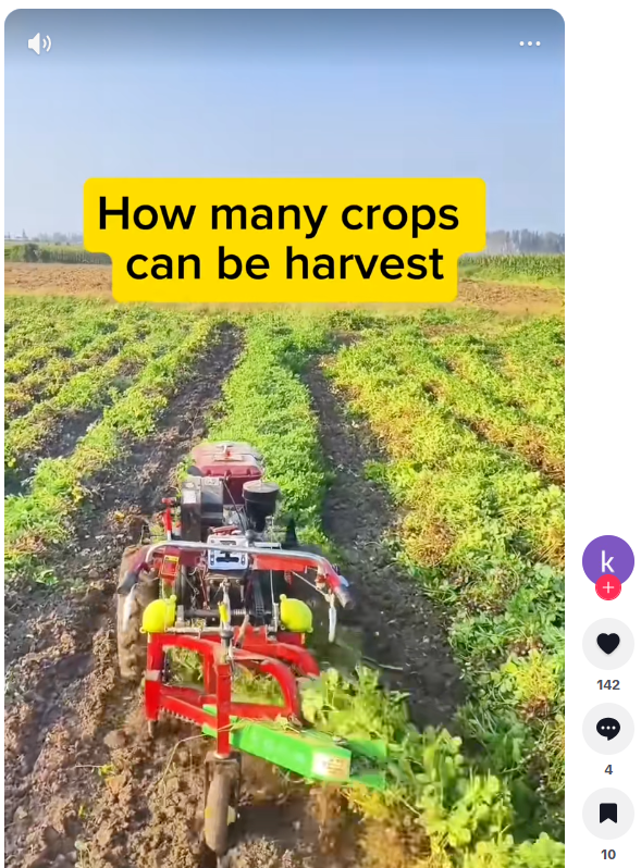
Fields are becoming smarter, and so is the conversation around them. As agriculture goes digital, with satellite imagery, precision tools, and connected devices, TikTok is emerging as an unexpected bridge between farmers, innovators, and the younger generation. It was interesting to learn how, today, agri-influencers are shaping the sector, with simple but impactful educational messages shared on social media.
Albane Peltier, Project Officer at Eurisy, also had the great opportunity to be a guest at the TV Agri, a leading media outlet specialising in agricultural news and innovation. During the discussion, she shared Eurisy’s mission and highlighted the many ways space technologies already support the agricultural sector. Can’t wait to share the final video with you all!
What were the key takeaways from the event: Space is Emerging, but Not Fully Understood
Through dozens of conversations, a clear picture emerged:
- Awareness is steadily increasing. Satellite imagery is no longer viewed as “science fiction”; many stakeholders are already using it, especially for mapping and large‑scale monitoring. However, broader adoption still requires strong commitment and implementation by major governmental bodies to fully integrate these technologies across specific sectors.
- Knowledge gaps remain. Many still perceive space as “too far away” too complex, too abstract, or reserved for specialised players.
- Drone solutions feel more familiar. Users appreciate their high resolution, low latency, and hands-on control.
- But there is curiosity. A lot of it. When presented with concrete examples, most actors were enthusiastic and eager to learn more about how space can support their missions.