e-shape adds 5 new Pilots to their portfolio of Earth Observation solutions
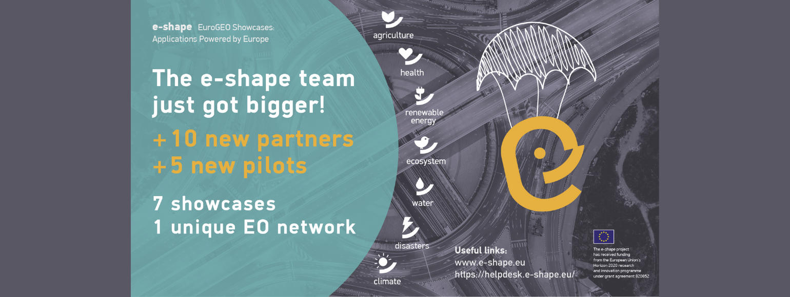
Following their second Call for EO-based products, e-shape has selected 5 new Pilots that will join the project, expanding the EuroGEO community.
e-shape is organised as a suite of support packages to Pilots, designed to bring most impact to user communities and ensure the Pilot’s sustainability on the long run. e-shape brings the latest advances in the EO domain, the strength of a vast international network, and tailor-made market penetration and business model support services. e-shape’s methodology is scalable and replicable and is deployed operationally across domains and applications.
The e-shape General Assembly concluded a successful onboarding process. 33 applications from private entities, research institutes, and academia from all over Europe and beyond, showcasing added-value and on-the-edge services to foster the awareness of EU Earth Observation capabilities were received.
“The number of applications received for this second onboarding, shows the great interest to develop and raise awareness on the European EO capabilities, by delivering EO-based benefits to users and supporting the EuroGEO vision. This testifies the strong willingness of all these entities to cooperate and showcase the strengths and the tremendous contributions of Europe for and with users”, said Emmanuel Pajot, Secretary General of the European Association of Remote Sensing Companies (EARSC).
“We are glad to welcome five new sharp EO-based services. The new Pilots will expand the range of applications to new end-user communities. The continuous additions to the consortium demonstrates the scalability and agility of e-shape as a portfolio of services that bring value to European Citizens and the EO industry. We see e-shape as a backbone to the European Regional GEO (EuroGEO) and as a flagship of GEO. “ Thierry Ranchin, e-shape Scientific Coordinator, ARMINES/Mines ParisTech
The 5 new Pilots are and are led by:
1. FRIEND Flood Risk & Impact assEssment through automatic chaNge Detection of S-1+S-2 images, MEEO, Italy (Showcase Disasters)
2. DynaCrop – unlocking EO services for the food production value chain, World from Space, Czech Republic (Showcase Agriculture)
3. EYWA (EarlY WArning System for Mosquito-Borne Diseases), National Observatory of Athens, Greece (Showcase Health)
4. Super resolution air quality monitoring service, Murmuration SAS, France (Showcase Climate)
5. MountaiNow, One Earth Sarl, Switzerland (Showcase disasters)
The newly onboarded Pilots will benefit from e-shape project support including co-design methodologies, deployment support, user uptake, capacity building & liaison, sustainability & upscaling, communication, dissemination & Help Desk.
About e-shape
e-shape (EuroGEO Showcases: Applications Powered by Europe) is a project coordinated by ARMINES, launched on May 2019. e-shape develops and promotes European Earth Observation capabilities with and for the users. By leveraging Copernicus, e-shape opens new opportunities to develop and expand its use, through existing European capacities, and develop research to business activities.