The final Agenda of the workshop is available in pdf here.
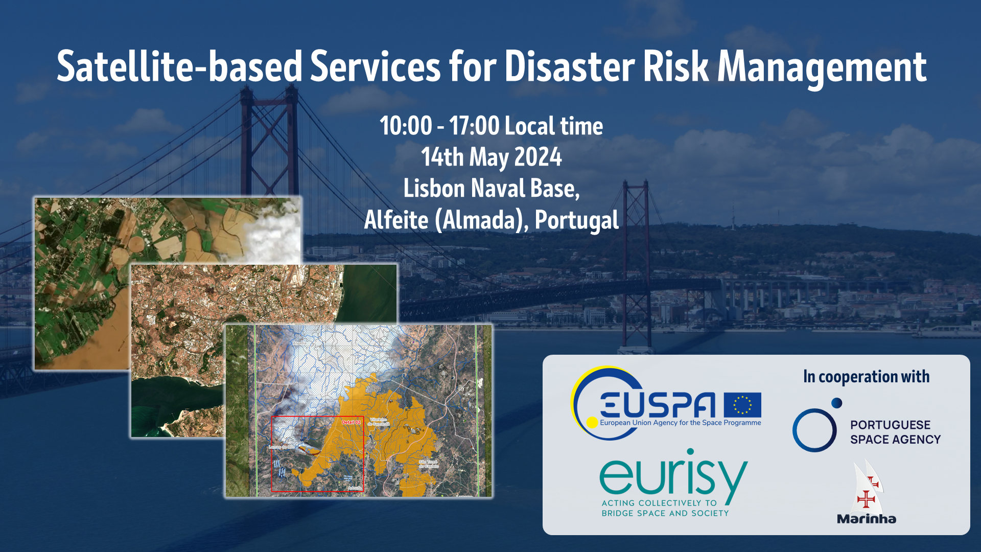
Lisbon Naval Base (Alfeite, Almada)
All times are in local time (CEST)
09.30 – 10.00 Registrations and welcome coffee
10:00 – 11.00 Keynotes
10.00 – 10.15 Admiral Henrique Gouveia e Melo, Chief of the Navy and National Maritime Authority
10.15 – 10.25 Dominique Tilmans, President Eurisy
10.25 – 10.35 Ricardo Conde, President of the Portuguese Space Agency
10.35 – 10.50 Rodrigo da Costa, Executive Director, EUSPA, Space assets for disaster management
10.50 – 11.00 Ana Paiva, Secretary of State for Science
11:00 – 11.30 Coffee Break
11:30 – 13.00 European Space Program Capabilities for Disaster Risk Management
Moderated by Marie Menard, Senior Communications Officer, EUSPA
11.30 – 11.45 Marie Menard, Senior Communications Officer, EUSPA, CASSINI Programme and funding opportunities
12.00 – 12.25Georgios Andreas Synnefakis, EUSPA, GOVSATCOM for disaster management
12:25 – 13:00 Q&A
13:00-14:00 Lunch Break
14:00- 15:00 Panel Presentations
Space assets supporting the Disaster Risk Management Cycle
What can space data contribute to prevention, preparedness, response, and recovery?
Moderated by Carolina Sa, Portuguese Space Agency
14:10 – 14:20 João Bentes, Institutional Affairs Manager, GeoSAT, Earth Observation for Disaster Management
14:20 – 14:30 Ricardo Cabral, Co-Founder, Spotlite, Spotlite: Harnessing Satellite Data for Improved Asset Management
14:30 – 14:40 Miguel Correia, Managing Partner, EYECON, From Data to Safety: Mapping Landslide Risks with SOILRISK
15:00 – 15:30 Q&A
15:30 - 16:00 Coffee Break
16:00 - 17:00 Panel Presentations
Applications and Uses of Satellite-based Solution for Disaster Risk Management
Users best practices and lessons learned stemming from the use of satellite applications in their daily operations
Moderated by Annalisa Donati, Eurisy
16:00 – 16:10 Annalisa Donati, Secretary General, Eurisy, User Needs Assessment for Enhanced Disaster Risk Reduction
16:20 – 16:30 Rúben Santiago, Hyrdographic Institute, Satellite-Derived Bathymetry for Disaster Risk Management
16:40 – 16:50 John Rodrigues, INOV, SMART-CONNECT, Sistema Ciclope, Remote monitoring and decision support from INOV
16:50 – 17:00 Brigadeiro-General José Duarte da Costa, President of ANEPC