
From Space to Shores: Disaster Risk Management insights from Bonaire
The Caribbean is becoming an increasingly strategic region for European space cooperation, serving both as a key area for the application of satellite services and as a valuable location for European space infrastructure.
Satellite applications play an important role across the region: from enhancing climate and environmental monitoring and digital connectivity, to supporting maritime operations and disaster risk management. For Bonaire and other European overseas territories, these technologies help address challenges related to remoteness, limited infrastructure, and exposure to natural hazards, while strengthening resilience and supporting sustainable development.
The expansion of European space infrastructure in the region, including the newly opened Galileo Sensor Station in Bonaire, highlights the Caribbean’s strategic importance for the performance and global reach of European satellite systems, while reinforcing broader cooperation between Europe and the region.
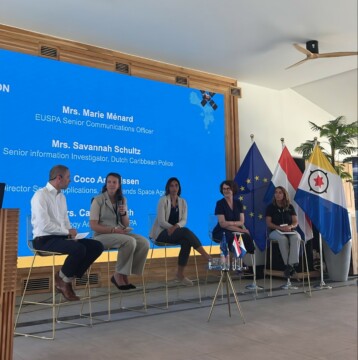 These issues were at the centre of the EU Satellite Conference in Bonaire, which brought together European and Caribbean public authorities, space-sector organisations, research institutions and other stakeholders to discuss how satellite technologies can respond to regional priorities. The conference covered a range of topics, including climate adaptation, connectivity, search and rescue, environmental monitoring and disaster preparedness. The “Satellite-Based Services for Disaster Risk Management” workshop, held on 23 April 2026, was part of this wider programme and focused specifically on the role of space-based services across the disaster risk management cycle.
Organised by EUSPA and Eurisy, with the support of the Ministry of Infrastructure and Water Management of the Netherlands and the Netherlands Space Agency (NLSA), the workshop was the 14th in the series of national workshops organised by Eurisy and EUSPA with local partners since 2022. It brought together public authorities, emergency management and meteorological services, research organisations and space-sector experts to discuss how satellite-based services can support disaster risk management.
For Caribbean islands, where geographical isolation, limited ground observations and resource constraints can make access to reliable information more difficult, satellite data can provide an additional source of information for monitoring hazards and supporting decisions. Discussions during the workshop covered applications including flood and rainfall monitoring, environmental and marine monitoring, emergency communications and public warning.
From satellites to action
A key focus of the workshop was how European space services can be translated into practical tools for decision-makers. Participants discussed the role of Copernicus, Galileo and GOVSATCOM in supporting preparedness, response and recovery, as well as the challenges and opportunities involved in integrating these services into local workflows.
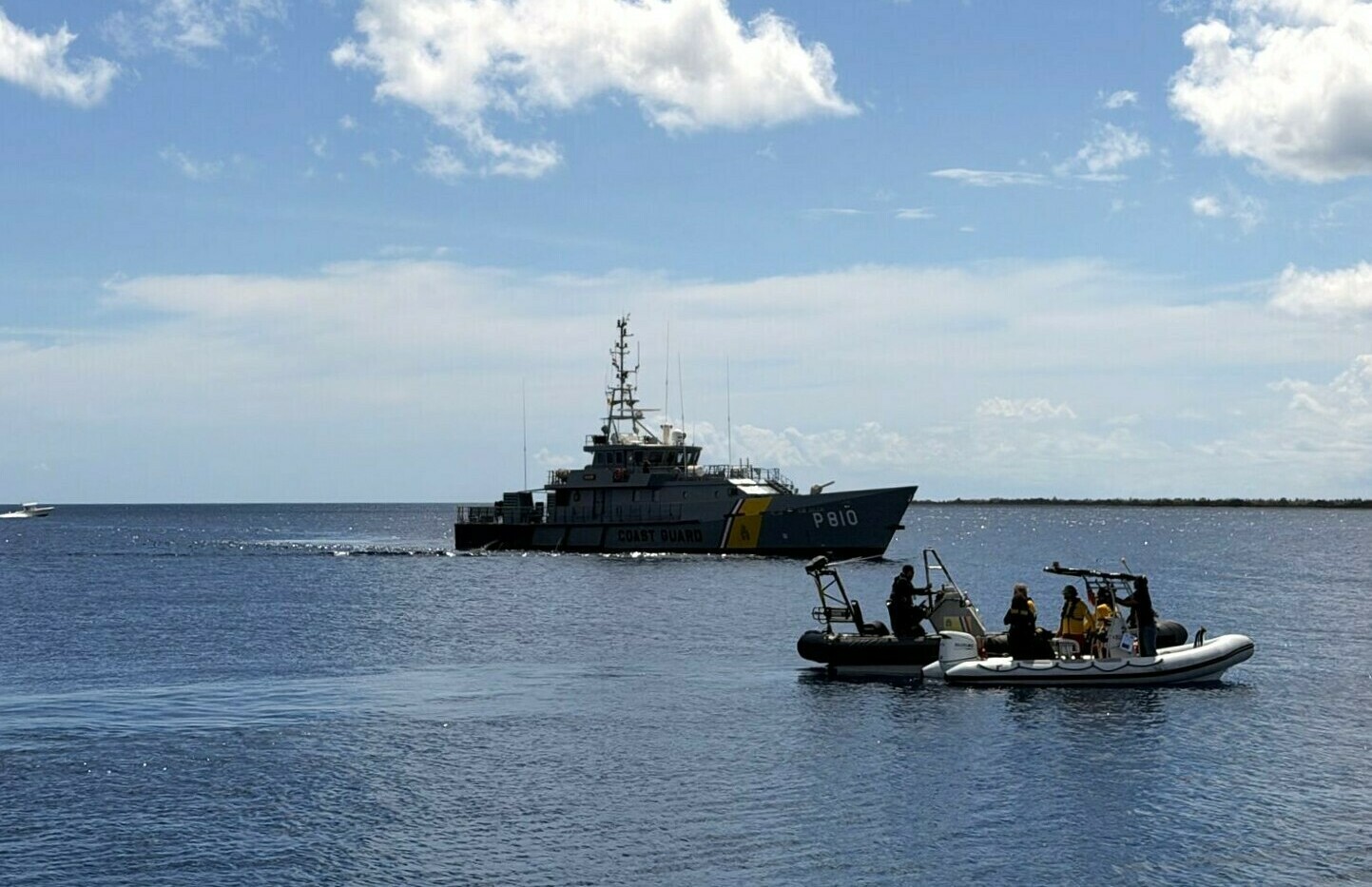
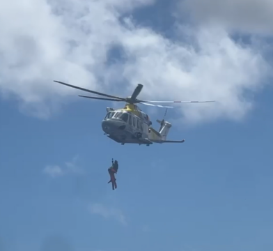
Two hands-on demonstrations brought these capabilities to life. A Galileo Search and Rescue demonstration showed how satellite-enabled distress detection can support emergency response and maritime rescue operations. The demonstration highlighted how a distress signal can be detected and relayed to the relevant authorities, helping turn satellite infrastructure into a concrete tool for saving lives.
 Participants also experienced a live demonstration of the Galileo Emergency Warning Satellite Service (EWSS). The upcoming service is designed to deliver emergency alerts directly to compatible mobile devices via Galileo satellites, including when terrestrial communication networks are unavailable. The demonstration illustrated how satellite connectivity can help extend the reach of critical warnings to people in affected areas.
Building resilience through cooperation
The workshop underlined that the value of space-based services lies not only in the data itself, but in how effectively it can be integrated into decision-making. Access to data alone is not enough: information needs to be accessible, relevant and integrated into existing decision-making and emergency procedures. By bringing European and Caribbean stakeholders together, the event created space to share practical experiences, identify user needs and explore how satellite-enabled services can contribute to more resilient islands.
As co-organiser, Eurisy supported the workshop throughout its preparation and follow-up, working with EUSPA and local partners on the programme, speakers, promotion and sessions.
Dominique Tilmans, Eurisy President, contributed with an opening keynote to the event, and Zaklin Butinar, Eurisy Interim Secretary General, was also present at the event engaging with the participants and organisers for the closing session. Eurisy also collected participant feedback and success stories, documented the discussions through the workshop report and produced a video of the event. This work forms part of Eurisy’s wider role in connecting space programmes with users and documenting how satellite-based services are applied in practice.
The Bonaire workshop demonstrated the growing potential of space technology to support communities on the front line of climate and disaster risks – from understanding hazards to communicating warnings and supporting emergency response.
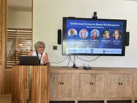
Dominique Tilmans, Eurisy President, giving her opening remarks