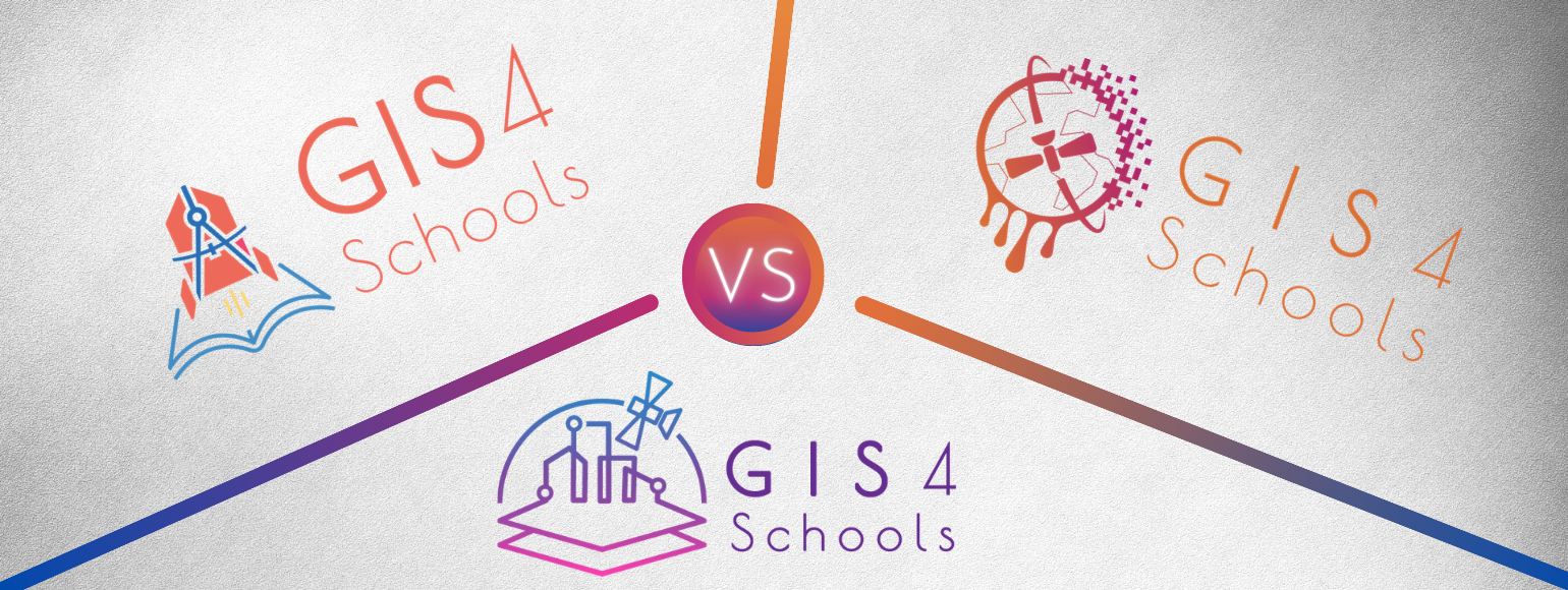
GIS4Schools Logo Competition

Within the frame of the Erasmus+ Project GIS4Schools, a logo competition has been launched! If you want to contribute to the definition of the visual identity of the GIS4Schools project, this is the right moment! You now have the chance to vote for the best logo among three proposals.
With this bottom-up approach, the GIS4Schools Logo Competition aims at giving the project a logo that reflects the expectations of the participating pupils, teachers and enthusiasts. The three logo proposals have been designed based on the core elements characterising the project:
- Digital Society
- Climate Change
- STEAM Education.
The logo will represent the first impactful window of the project, which runs until 2023. You can read more about the GIS4Schools project here.
Until when will the competition be open?
The GIS4Schools logo competition takes place between 15 December 2020 and 7 January 2021.
Spread the word & vote!
The most voted logo will be selected as the winner and will be featured on the GIS4Schools project website, gadgets and other official project materials.
Follow GIS4Schools and stay up to date with the latest initiatives of the project: on Facebook, Twitter, LinkedIn and Instagram, or sign up to the newsletter.
Let the competition begin! Not sure about what logo you should pick? Our storytelling at the bottom of this page might help you out!
1. Digital Society
Today we are part of a world that relies heavily on technology to improve quality of life. Space is a high-tech sector often linked to rockets, planetary missions and black holes. Indeed, space pioneers boldly go where no one else has gone before, but it’s not just about rocket science. There are also new frontiers to be explored on our own horizon. Europe’s satellites contribute to all of our lives on a daily basis, whether it is to find the best and fastest route to school, or attending classes remotely from home. Satellite systems provide us with all the maps, navigation and communication we need!
In spite of this valuable data supply, Europe still struggles with the absence of a “data culture”. Stimulating innovative practices in a digital era is one of the pillars of GIS4Schools. Future generations are encouraged to effectively use European space assets and the resulting data stream. The digital switch is everywhere these days. Our cities are becoming increasingly smart, at the same time e-learning has never been so important. Satellite data plays a pivotal role in these trends, and while students are digital natives, they are not necessarily acquainted with processing these types of data. Learning how to interpret and use satellite data is a unique opportunity and can be an eye opener for their future!
2. Climate Change
Climate change represents the biggest challenge of our time. Glaciers are melting, sea levels are rising and natural disasters occur more frequently and ferociously. Scientists and governments are looking for solutions to stop the deterioration of the environment. While this process seems to be long and results far from being announced, youngsters are demanding more measures for the benefit of our world. The Fridays for Future movement shows just how much these new generations are fighting to secure their future. GIS4Schools aims to give them the right tools, encouraging the use and exploitation of satellite data by students into climate action.
Earth Observation satellites provide scientists and researchers huge amounts of data, aimed at developing solutions or policies for national governments or local actors to act against climate change. Within the GIS4Schools Project, students will be able to understand and tackle the environmental and societal challenges, even at local level. Students will learn the necessary digital tools to analyse various parameters related to the increase in surface temperature, desertification, and forest fires.
3. STEAM Education
Supporting opportunities for all in acquiring and developing STEAM competences is one of the core objectives of GIS4Schools. The future needs a diverse range of skillsets. From science and technology, to sources of creativity in aesthetics, architecture and art. Such a wide palette of competences is most definitely needed in the space sector where technology and disruptive thinking are highly valued. Space attracts multidisciplinary talent and there is no better breeding ground for it than education.
As Europeans we can be proud to have the world’s leading provider of Earth Observation data and information. The Copernicus satellites keep a finger on the pulse of our planet. Having a close watch on the environment, our satellites cover a wide spectrum of applications. From helping farmers protecting their crops and optimising their harvest, to the protection of forests, or monitoring the air we breathe. Europe’s eyes on Earth provide a continuous and fresh stream of information. The challenge is not only to maintain and extend our technical infrastructure in orbit, it is also to use and exploit the resulting flow of data. Are you ready yet to explore and prepare your future career?
