Basilicata region: Improving fire risk assessment and prevention
The Region
The Basilicata region covers 10,000 km2, has 131 municipalities and a population of about 600,000 inhabitants. The Civil Protection Office of the region is in charge of risk assessment, monitoring and prevention in the territory.
The Challenge
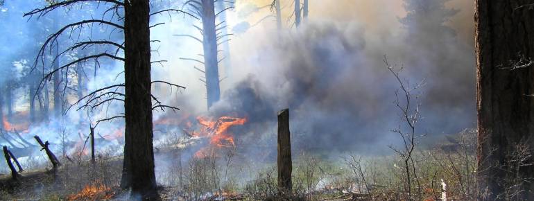
In Basilicata, forests represent one third of the regional territory and are threatened by numerous fires every year, caused by dry conditions during the summer and human activity. Such fires do not only cause a loss of trees, biodiversity and habitats, but also increase CO2 levels in the atmosphere and affect the landscape stability.
The Civil Protection Office needed to monitor constantly the high risk zones on a municipal level and to make a more efficient use of the resources deployed in fire prevention. In particular, it needed satellite images with a higher resolution than those provided by the national fire assessment system, RISIKO, in order to concentrate fire prevention activities where the danger level is highest.
The Satellite Solution
In 2008, the Civil Protection Office created the permanent unified operative room (SOUP – (Sala Operativa Unificata Permanente), a special unit coordinating fire prevention, monitoring and extinction efforts of all the local and regional entities involved in the management of fire risk in Basilicata.
Within the framework of the regional fire control plan, which foresees the development of innovative satellite techniques to prevent fires, the National Research Council (CNR) produces risk assessment maps on the basis of high resolution satellite images that are used by SOUP to coordinate fire prevention activities.
Satellite images are fundamental in monitoring some key factors in the evaluation of fire dangers, such as the humidity of the air and of the natural combustibles present in the territory, which can change significantly in a short period of time. By combining such information with other data, such as meteorological forecasts and fire records, daily or weekly maps are produced to assess the fire danger level of each municipality, thus concentrating monitoring measures (for example flights and monitoring patrols) in the areas that present a higher risk. The fire risk forecast maps are uploaded on the SOUP unified platform and are also available on the Basilicata Civil Protection Office website.
The Result
The Civil Protection Office benefits from more accurate information about fire risks on a local level. The periodic maps allow the Office and the competent regional bodies to optimise risk management and better mobilise material and human resources, by increasing land controls only in the zones that are considered more at risk.
“Fire forecast maps facilitate the region’s tasks in preventing and monitoring fires”. Guido Loperte, Basilicata Civil Protection Office