Forest company Vojvodinasume: sustainable forest management and reforestation through satellite imagery
The forest company
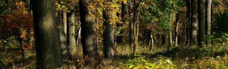
Located in Northern Serbia, the Vojvodina region spans over 2,150,000 ha. It is predominantly a flat farming region. Forest covers 7% of its surface, i.e. about 154,000 ha.
Vojvodinašume is the public entity in charge of 65% of the region’s forests and forest land, of which over half are protected areas. It manages four forestry estates along with a fifth section dedicated to hunting tourism.
As the forests are mainly concentrated around river basins, the organisation also supports the implementation of the EU Water and Floods Directives and Natura 2000 regulations, in view of its accession to the EU.
The company’s 1,500 employees help ensure compliance with wood harvesting quotas, set up forest regeneration strategies and look after the forest’s economic products and services such as wood, hunting, fishing etc. A large amount of wood is being sold locally to sawmills and wood processing companies. Many Serbian households still using wood furnace for heating. Although public, Vojvodinasume is mostly dependent on the revenues it obtains from selling wood.
The challenge
Due to intensive farming and the urban sprawl that began in Eastern Europe after 1945, Vojvodina’s forests are quite fragmented. About 90% of them are publicly owned. Today, Vojvodinašume operates 55 forest management units, each action as per its own 10 year management plan.
Each year, the company reviews five or six unit plans, gathering new field data on tree species, density, age, health and wood quality, as well as field samples. With maps that could cover up to 10,000 ha to be updated each year, manual field inspections required an extensive number of personnel and time.
In order to create appropriate management plans for its forest units, the company needs cadastre, soil data, protected species, water management and infrastructure plans. However, red tape makes it hard to obtain such data from other public authorities.
The solution
The company started using Earth Observation-derived information in 2006, initially thanks to a pilot project carried out with the Norwegian Forestry Group and the University of Belgrade.
High-resolution remote sensing data is purchased yearly through public procurement. The data is used as a complement to field observations to improve forest area estimations and plan sample plots. Vojvodinašume also uses aerial imagery for forest inventories and vegetation maps. Aerial photos allow for a more precise delineation of tree species, marginal woodlands and tree health.
The result
At present, only 10-15 field investigators are deployed during the year, considerably less than before using EO data. The company has reduced time and human resources costs connected to field inventories.
Using EO has allowed Vojvodinasume to map forest and wood types, which translated into evaluations of forest growth. The company uses this information to determine sustainable annual harvesting quotas and plan seeding and reforestation activities. Moreover, the data is used to identify diseases and abiotic stresses in a timely manner, thus triggering quicker decision making and interventions.
The company can also make long-term predictions on the quantity of wood available for use and selling. Hence, it can obtain a clearer image on its budget and price products accordingly.
By accessing different national and European funds, such as the Interreg programme, Vojvodinašume hopes to renew its equipment and obtain low-cost and free Earth Observation data. The company is also planning to use Sentinel data provided by the Copernicus Atmosphere Service and the Copernicus Land Service.
The prices of satellite images are dropping, spatial resolution is improving. There are no more reasons to avoid using them for performing analyses while working on forest management plans.Bojan Tubic, Forest Management Department