Mures Floodplain Natural Park: satellite information helps manage natural heritage
The organisation
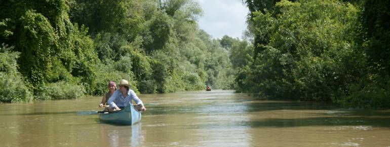
The protected area of the Mures river floodplain is located in the West of Romania, stretching from the city of Arad to the Hungarian border, along the river Mures, covering an area of 17 455 ha.
Since 2006, it is the fourth area in Romania that has been designated for inclusion in the Ramsar List of Wetlands of International Importance. The Park is also part of the Natura 2000 network, and a Special Bird Protection Area. The diversity of the Park’s fauna and flora confers it an outstanding scientific value, in addition to its potential for the development of ecotourism.
The challenge
The Mures Lower Floodplain is a typical wetland ecosystem that hosts approximately 200 species of birds, of which some are internationally protected. Being a wetland, it is also a highly sensitive area, exposed to floods and river erosion (flooding occurs about once every three years).
One of the development axes of the park is the promotion of eco-tourism as a source of economic welfare for the community. The associated socio-economic risks, as well as environmental ones, put pressure on the natural heritage conservation and require an integrated, sustainable management strategy. The Park Management Team, and its Scientific Committee, required a detailed knowledge of the area in order to make informed decisions over its sustainable use, and advise regional stakeholders (the Water Administration, the Forest Directorate etc.) accordingly.
The satellite solution
Starting from 2005, the Park has used a combination of aerial and satellite images, Quickbird and WorldView 2, to chart and analyse the entire Park area. These images – part of a Geographic Information System (GIS) system implemented by the park – have replaced old paper maps, which were more difficult to use and update. The satellite image used by the Park offers a unique opportunity for vegetation analysis and biomass studies (see more on lm.geoprtal-mediu.ro/home). In order to better use satellite technology for current and future activities, three members of the park’s staff participated to training courses.
The result
The digital maps obtained through a combination of aerial and satellite data has been evaluated as an excellent, independent, objective and transparent monitoring tool for decision-making related to the park activities. It is a useful, daily tool when advising on new infrastructure development authorisations, calling for river bank protection measures against erosion, for trees to be replanted in areas of loss, and others. The web portal is an important tool for the promotion of eco-tourism in the region and biodiversity educational programmes.
“Since 2005 satellite images became a very important part of our everyday work at the Park. We use them for administrative purposes, eco-tourism and research.” Paul Hac, Mures Floodplain Natural Park Administration.