ORMVAG: Irrigation management using satellite imagery
The region
The region of Gharb, with over 600 000 hectares of farmland and surface water resources estimated at 4,8 billion m3, i.e. 27% of the available national water resources, has a significant farming potential.
ORMVAG was created in 1966 with the objective, amongst others, to better manage water use in farmlands, through a more efficient distribution of irrigation water, infrastructure maintenance, as well as providing training and advice to farmers.
The challenge
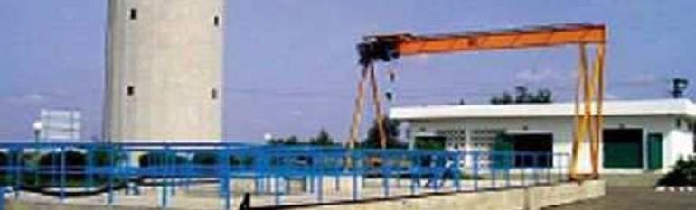
ORMVAG operates 54 pumping stations and an irrigation network covering 3 000 km, that allows it to control water supply and demand. In particular, ORMVAG has to ensure that the regularity and quality of the water distribution service to all users are not affected by the use of irrigation water. Due to the growing infrastructure and water demand for home or industrial use, managing such a network has become increasingly complex.
The solution
ORMVAG created its own Geographic Information System and developed new tools that provide an overview of the irrigated areas, based on high-resolution satellite images. These images are used in Tadla and will be used in the future in the Gharb to determine the rate of actual and potential evaporation and plant transpiration from the land surface to the atmosphere (evapotranspiration), as well as irrigation performance indicators. Furthermore, the high-resolution satellite images and GIS provide an in-depth overview of the region by highlighting the interactions between water and land, notably urban sprawl on farmlands, but also floods.
The initial work was carried out in the surroundings of Tadla, using a Landsat satellite image (June 28, 2006), acquired within the Aquastress project. The results were similar to those determined by conventional methods, with the advantage of providing an overview of the entire irrigated area of Tadla. This proved useful in mapping land use and monitoring and controlling farmlands irrigated by pumps, urban sprawl on farmlands, and the 2009 and 2010 flooding in the Gharb.
The result
Satellite images have proved less expensive, as well as more reliable compared to conventional methods. They allow decision-makers to better manage water resources and land use, while ensuring the sustainability of the production system. As information became more reliable, it helped reinforce the trust between ORMVAG and its users. The water service has improved and management costs of the irrigated areas have been reduced (land use cartography, monitoring and control of pump irrigation, monitoring of urbanisation and flood control…).
“Satellite imagery and GIS are two pillars for supporting and strengthening the management of agricultural areas.” Aziz Bellouti, Chief of the Agriculture Activities Development Division, ORMVAG.