Regione Veneto: real time geolocalisation service
The region
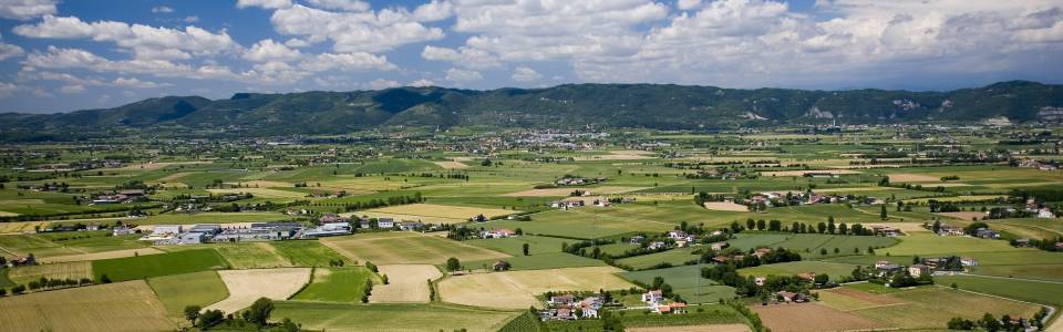
The Northern Italian Veneto region spreads over 18 399km2 and hosts a population of approximately five million. The Regional Authority is in charge of coordinating and leading cartographic activities on its territory. The regional Cartographic Office provides regularly updated territorial data and cartography that offers municipalities, provinces and other professionals the tools necessary for an accurate knowledge of the territory.
The challenge
As traditional paper-based cartography is being gradually and consistently substituted with digital cartography, a real-time positioning service becomes of paramount importance for those in charge of territorial management. The Veneto region has set up a permanent network of GNSS stations in response to the request from private and institutional operators for a real-time positioning service. This infrastructure supports public and private entities operating on the territory in the fields of surveying, transport, fleet management, environmental protection, risk management and urban planning, among others. The system also needed to be compatible with other local and national positioning schemes and to be in line with European quality standards.
The solution
Regione Veneto initiated collaboration with the University of Padua and several local institutions interested in the service, such as cadastral offices, fluvial and water authorities, surveying schools, municipalities, professional surveyors and other public institutions.
Since 2008, the region offers free access to a permanent network of 25 positioning stations to public and private entities. Data and services are freely available through the Web Portal of the Veneto region (http://147.162.229.63/Web/). A call centre service is provided to support users with technical and practical questions and to report on problems and missing data to local managers.
The result
The service guarantees real-time positioning on the regional territory, enhancing the accuracy, precision and reliability of GNSS signals for professionals working in surveying, transport and mobility, agriculture, energy, logistics and others. Furthermore, it represents a particularly useful tool for environmental and soil deformation monitoring and for professionals working in risk monitoring and prevention. In 2011, 200 users were registered in the system, a number set to further increase.
The service is compatible with the Italian National Dynamic Network of GPS permanent stations and it also complies with the INSPIRE EU Directive.
“Surveying in the field and updating geographic databases has become very simple, with high quality standards, limited chances of human error and widespread compatibility with softwares for Geographic Information.” Alessandro Caporali, University of Padua.