Rhodes: Using Copernicus data to safeguard cultural heritage
The Ephorate of Antiquities of the Dodecanese
Operating under the authority of the Greek Ministry of Culture, the Ephorate of Antiquities of the Dodecanese is responsible for protecting, preserving, and studying all antiquities in the islands of the Dodecanese.
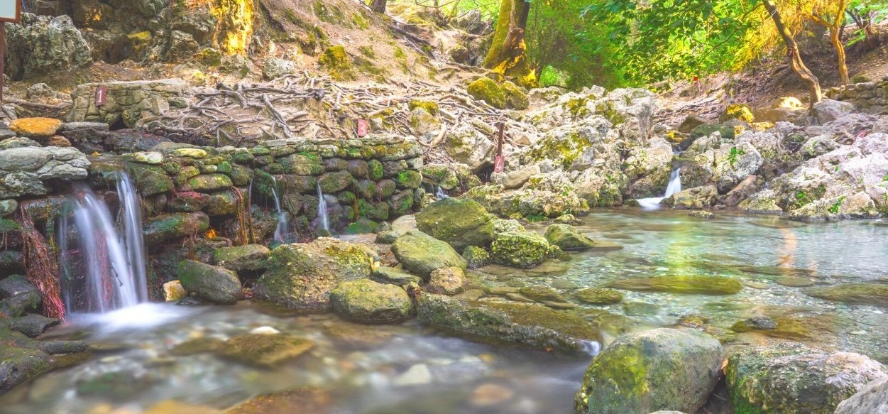
Rodini was part of the necropolis of the ancient city of Rhodes, in the largest island of the Dodecanese. The area includes the remains of some of the ancient monumental graves and cave sanctuaries, and a park in a valley crossed by a torrent. Shortly before the torrent meets the sea, a bridge built in Roman times is still in use today, being one of the main entry points to the modern city of Rhodes.
The challenge
Soaring temperatures, increasingly frequent floods, summer fires and storms, sea-level rise, and geological movements represent major threats to archaeological remains and historical beauties.
In Rodini, throughout the centuries, summer fires, storms and floods eroded the archaeological remains, which are also severely threatened by land displacements.
Due to the earthquakes, part of the Mausoleum complex in Rodini has collapsed. Another nearby grave complex presents a cracked rock façade, which could cause the crumbling of the grave monuments cut in it. Also the roman bridge, even though statically stable, is presenting fissures on the inner sides of the arches, which makes its monitoring necessary.
To prevent further damage to the monuments in Rodini and to adopt effective conservation measures, the Ephorate needed accurate and up-to-date information on land deformation in the area.
The satellite solution
In 2019, the Ephorate of Antiquities established a collaboration with the National Technical University of Athens, which resulted in their participation in the EU Horizon 2020 HYPERION project.
In Rhodes, HYPERION aimed at recording the damage to the monuments in Rodini that is directly related to the natural environment and the microclimate of the area, at assessing their degree of risk and the rate of their deterioration over time, and at building tools to plan for conservation and restoration measures.
More than 100 Sentinel images from 2016 to 2019 allowed the scientists from the University to create a land deformation map of Rodini and to assess the level of ground deformation in the area. The map shows a 10mm uplift between 2016 and 2019, which clearly affects the structural integrity of the monuments there.
The results
The ground deformation maps classify the level of ground deformation with different colours, and allow users to zoom on specific locations to know how the ground is moving there.
The maps serve as a non-invasive tool to collect the information needed to preserve cultural heritage in Rhodes. The movements are assessed with millimetre accuracy, providing the Ephorate of Antiquities of the Dodecanese with extremely precise data on the structural stress affecting the monuments. This information can be consulted for a specific day or as an annual average.
The Ephorate can identify the structures that need more urgent action and propose measures to secure and restore the monuments. For example, they will take action to stabilise the monuments that are more affected by land deformation in the ancient necropolis in Rodini and will ask the Municipality to stop or lighten the traffic on the Roman bridge.