Serbia: Detecting stubble burning in agricultural fields
The Autonomous Province of Vojvodina
With a multi-ethnic and multi-cultural population of about two million people, the Autonomous Province of Vojvodina occupies the northernmost part of Serbia. Novi Sad, its administrative centre, is the second largest city in the country.
While Novi Sad is heading towards recognition as a regional leader in the IT industry, Vojvodina’s economy mainly relies on agriculture and agribusiness.
The challenge
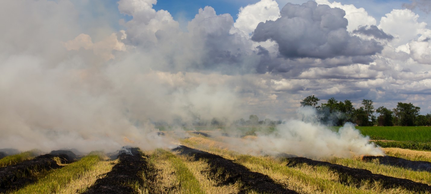
The Vojvodina Province is particularly affected by the phenomenon of stubble burning, a common practice in cultivated fields in Serbia, which threatens the health and safety of the territory.
In 2019, around 19.000 open fires were recorded in Serbia. 14 people died because of them and 40 were injured. The fires burned low vegetation, but also damaged forests, meadows, orchards, cereals, and vineyards.
To discourage farmers from burning the remains of their crops, the province’s public authorities need precise and reliable information on the location of this practice.
The satellite solution
With the support of the BıoSense Instıtute, UNDP Serbia created a web GIS portal to detect open fıres usıng data from Sentınel-2 satellites.
By comparing two consecutive images, one before the fire occurrence and the other after the fire, an algorithm detects the areas where fires happened and the potentially burned areas. These spots are visualised on an interactive web map that is made openly and freely available to the public: the Portal for Mapping Harvest Residues (www.dim.rs/#/dashboard).
The map was funded by UNDP Serbia through the “Challenge call for innovative solutions to reduce air pollution in Serbia and improve air quality”.
The results
The portal is used by the UNDP, research institutes and local administrations to raise the awareness of people, farmers in the first place, about the threats posed by stubble burning. Moreover, the portal allows the government to detect stubble burning and to undertake evidence-based actions against this practice.
In the Vojvodina Province, the methodology used to develop the portal was tested during three months (from September to November 2020), spotting over 9.000 parcels that were subject to crop residue burning.
On dim.rs, fires are classified according to the dates on which they occurred and cadastral information. The webGIS portal also contains statistics on fire occurrence history that is available for download, and information for citizens on how to report illegal burnings.
Users can know which areas are the most affected by crop residue burning and in which periods of the year. Altogether, this information enables local administrations (such as police forces, firefighters and forest authorities, among others) to be better prepared to the occurrence of stubble burning, to target awareness raising campaigns, to better plan in-situ inspections, and to sustain law enforcement.