Swiss National Park: using satellite applications for an interactive educational experience
The Park
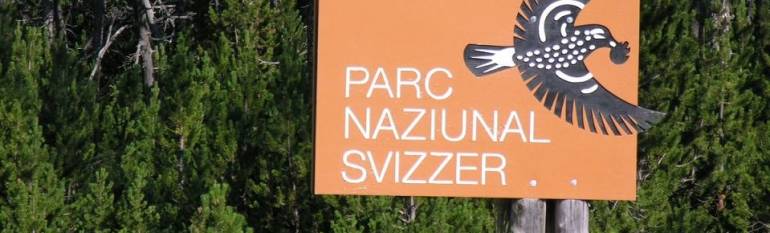
The Swiss National Park is the largest protected area in Switzerland and the only national park in the country, classified as a category 1 strict nature reserve and wilderness area by the International Union for the Conservation of Nature. Its 170km2 alpine landscape hosts an extraordinary variety of plants and wild animals, such as chamois, deers marmots, golden eagles and brown bears and lynxes, which have been recently spotted in the Park. Moreover the area has a great geological interest, and over 200 fossilised dinosaur footprints were discovered in its eastern part.
According to the federal law, the Park is a wild area, where nature is left to develop completely undisturbed. That means that no human is allowed to leave the 80km marked paths for visitors (around 150,000 each year) who can thus witness the unique landscape without bothering plants and animals.
The challenge
The Federal Act on the Swiss National Park establishes the obligation for the Park’s administrators to welcome the general public and to inform visitors about the history, geology, species and habitats of the area. In order to accomplish this mission, the Parks’ managers looked for a solution that would enable visitors to explore the area autonomously and to acquire knowledge on its flora and fauna, within the established visiting perimeter.
The satellite solution
Since as early as 2000, the Park’s Geographic Information System is being updated with spatial information from many sources, including satellite imagery and navigation. Moreover, since 1998 GPS has been used to track mammals and reptiles to better understand their behaviour and needs.
This satellite-derived data were used as a basis to create a multimedia walking guide, “IWebPark”, available since 2005 in German, French or English. The guide, developed within the framework of an EU-funded project, is available on mobile devices that can be rented in the Park, or it can be downloaded directly on smartphones. Contents also include pictures, audio texts, videos and texts covering a wide range of information, such as the user’s position, animals and plants in the surroundings, geological and historical facts and tourist facilities, among others. Moreover, the guide offers 360° panoramas from the most stunning viewpoints and quizzes covering several trails. Contents activate automatically as the visitor walks by the rails, but users can also choose to activate certain contents whenever they want (for example to verify the name of a butterfly seen on the way).
Furthermore, since the summer 2010, visitors can use iWebPark to follow two routes outside the Park, one designed especially for children and created in collaboration with the World Wide Fund for Nature – WWF.
The result
At the beginning, the multimedia mobile guide served the objective of stimulating young visitors and to make them interested into the biological and geological heritage of the area. Moreover, it was also used as a marketing strategy to promote a dynamic image of the National Park. Nowadays, the quizzes and other interactive features enhance the learning experience in a playful fashion.
Since 2005, 8,000 visitors rented the multimedia guide to explore the Park and since 2010 approximately 4,500 users downloaded the app into their mobile phones.
With the multimedia guide, visitors can follow autonomously the many natural trials in the National Park and find answers to their questions whenever they are,Ruedi Haller, Research and Geoinformation Manager, Swiss National Park.