The Alaska Science Centre turns to EO & GPS to track and monitor polar bears
The user
Alaska Science Center (ASC) is part of the U.S. Geological Survey (USGS) agency. USGS is the largest water, earth, and biological science and civilian mapping agency in the U.S (10,000 scientists, technicians, and support staff working in 400 different locations).
Headquartered in Anchorage, ASC has studied the dynamics, habitat use, foraging ecology and health of polar bears since 1985. The centre contributes to USGS’s Changing Arctic Ecosystems Initiative, by monitoring the bear population in the Southern Beaufort Sea of Alaska and neighbouring Canada.
The challenge
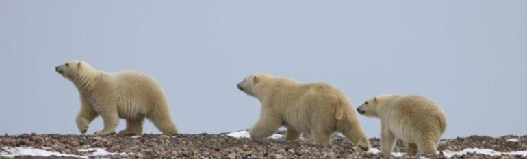
Shrinking ice caps due to global warming have caused major changes in the Arctic sea ice environment. Polar bears, iconic predators, depend on sea ice for nearly all of their life cycle functions. As an ice-dwelling species, polar bears’ health and behaviour are closely linked to their habitat. Melting sea ice has reduced their hunting ground leading to shorter life-spans and altered maternal denning distribution. Ursus maritimus was listed as a threatened species under the Endangered Species Act (ESA) in 2008. Thus, for biologists each polar bear individual counts.
Because polar bears venture across vast, inaccessible environments, direct observations could only be provided during a small part of the year. Furthermore, counting white bears in a vast white landscape is difficult, expensive and sometimes dangerous.
The satellite solution
To better understand how sea ice decline in the Arctic affects polar bears, USGS scientists use GPS collars to track their behaviour and habits. Each spring 20 GPS collars equipped with satellite telemetry transmitters are fitted on adult female polar bears. The accelerometers on the collars also gather data about the energy needed for the bears to hunt for food (these sensors track the bear’s movement much like a Wii-fit tracks a human’s). Programmed to collect several locations per day, the collars are released automatically after 52 weeks.
However, due to extreme weather conditions, collars sometimes prove unreliable. As the bears are frequently in and out of water, collars occasionally suffer failures in their GPS units. In addition, the bears themselves are tough on the collars and that puts a lot of stress on the components and antennae connections.
So to fill information gaps, biologists are also testing the efficacy of using high-resolution satellite imagery to monitor polar bear numbers and distribution. However, due to cloudiness, the use of EO images remains limited to summer months when areas are snow-free and bears are easier to spot. Despite the challenges in automation and the limited topography in which the method can be effectively applied, improvements in resolution could expand opportunities for future use. Furthermore, compared to the GPS collars, EO data would be less invasive for the bears and safer for humans to use.
The result
As Arctic sea ice continues to retreat at a rate faster than predicted by models, it is urgent to improve estimates of the scale and mechanisms of population responses. Satellite-tracking-informed forecasts are vital in order to raise awareness and advise local, state, national and international policy makers on the conservation efforts needed. USGS has projected a 5% per decade loss of optimal polar bear habitat through the 21st century. Coupled with a decrease in health and reproductive behaviour, it is clear that conservation efforts need to be increased.
The habitat models developed thanks to satellite tracking will in the future be applied to satellite-derived imagery on the extent, composition, and dynamics of sea ice to further improve forecasts on the impacts of climate change on polar bears.
Monitoring wildlife in the Arctic, where the impacts of climate change are acute, is a priority. But working there can be logistically difficult, with some areas too inaccessible to allow for routine assessments of abundance and distribution. We think satellite technology has the potential to open vast, remote regions of the Arctic to regular monitoring. It has tremendous potential to aid the circumpolar management of polar bears.
Todd Atwood, Research Wildlife Biologist, USGS Alaska Science Center