The role of space technology in supporting national decision-makers in disaster management. Highlights from the Satellite-based Services for Disaster Risk Management workshop in Cyprus
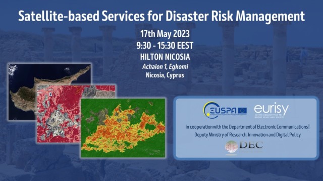
On May 17th, the second national workshop Satellite-based Services for Disaster Risk Management was held in Nicosia (Cyprus), co-organised by Eurisy and EUSPA, in cooperation with the Cypriot Department of Electronic Communications, Deputy Ministry of Research, Innovation and Digital Policy.
The aim of the workshop was to gather national and regional stakeholders to discuss how satellite-based service can bring during the different phases of disaster risk management, and to facilitate the use of these services from a national to a European level.
The climate change effects are affecting the entire globe, and Cyprus is not an exception as most of several Mediterranean countries. Especially in the summer of 2021, droughts and extreme meteorological conditions sparked multiple forest fires that ravaged the region for over a month. Due to a combination of a prolonged warm and dry weather, the fire risk increased exponentially: during summer 2022, Cyprus forest areas were particularly affected by wildfires with damages to the villages surrounding the areas and evacuation of citizens. Besides fires, the island is often affected by intense flooding, as October 2022, when intense weather conditions affected the city of Nicosia. Landslides of soil and rocks, and surface ponding at several points of the road damaged areas of city, unreachable also by emergency services.
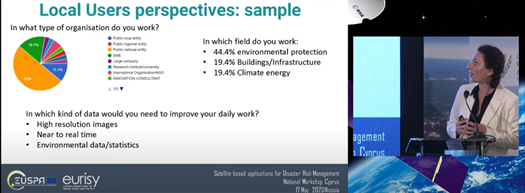
Throughout the event, the speakers and experts provided the audience with an overview of practical applications of space-based solutions to support a wide scale of disaster scenarios- ranging from monitoring and prevention of natural disasters, monitoring and protection of cultural heritage, the impacts of climate change on infrastructures as well as water quality management. A stress was posed on the use of Copernicus data to support decision makers and civil protection operators in case of a disaster and after.
The focus of the presented cases was not exclusively on Earth Observation solutions, but also on the use of GNSS technology to help individuals in distress, as explained through the European 112 emergency number and the integration of Galileo in mobile phones and in cars, providing rescuers with accuracy allowing them to save lives. The experts furtherly discuss the role and impact of GOVSATCOM to provide resilient and secure connectivity in disaster areas helping rescue team to get real-time on-site information. The workshop was also the opportunity to bring together European and national decision and policy makers to discuss on the existing policy framework and the future of risk assessment and management, as well as the role that space-based technology could play. Here it is possible to access the presentations of the day.
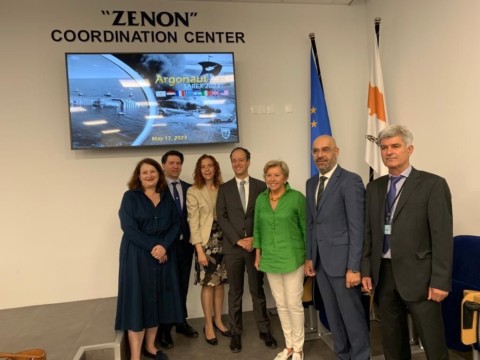
In parallel with the workshop, the Cyprus Joint Rescue Coordination Centre organised a Search and Rescue exercise as part of the ARGONAUT 2023 military exercise that involved both EU and NATO Member States. More details available here.
The exercise and workshop were well received at national level as per the press coverage:
In anticipation of the event report soon available, the event recording is available below.