Connecting Space and Urban Innovation: Eurisy at the Smart City Expo in Barcelona
Getting closer to users, understanding their needs and challenges, is at the heart of Eurisy’s mission.
The Smart City Expo in Barcelona offered a fantastic opportunity to connect the space sector with city communities and explore how space-based solutions can support smart and sustainable urban innovation.
From 4–6 November, Barcelona became the global hub for smart city experts. The pavilions were buzzing with cutting-edge technologies and visionary ideas that are transforming how we design, manage, and experience cities. Autonomous vehicles, advanced camera systems, integrated security solutions, and even security robots animated the exhibition halls, where delegations from around the world showcased their best innovations and forged new partnerships.
As we walked through the booths, one question guided our conversations: “Do you integrate space technologies and data into your solutions?” The initial reaction was often surprise, and sometimes followed by a confident, “Yes, of course we do.”
While space was not the central theme of the expo, it was undeniably present—and increasingly relevant.
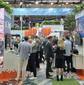
This year marked a growing presence of the space community at the event, including Eurisy members and partners. The European Association of Remote Sensing Companies (EARSC) hosted a booth featuring 14 space companies and organisations, among them the Institute of Space Studies of Catalonia (IEEC), an Eurisy member.
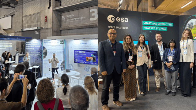
The European Space Agency’s Business Applications and Space Solutions (BASS) programme team was present, showcasing the opportunities and ongoing work within its Task Force on Smart and Green Cities. Representatives from the Netherlands Space Office were also on site, and the German Aerospace Centre (DLR) had a dedicated booth highlighting its projects on urban mobility.
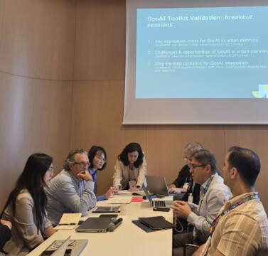
Eurisy kicked off its presence at the Smart City Expo World Congress by joining the GeoAI Toolkit Validation Workshop, organised by ICLEI Europe in collaboration with UN-Habitat. As partners with ICLEI Europe in the Focus Group on Geospatial Tools for Cities, Eurisy was invited to contribute to this event, which brought together urban planners, city leaders, and GeoAI experts from around the world.
The workshop served as a feedback and validation session for the upcoming GeoAI Toolkit – a practical guide designed to support urban planners in integrating geospatial artificial intelligence into their daily workflows. Participants explored key application areas, challenges, and integration strategies through interactive breakout sessions, facilitated by ICLEI Europe and UN-Habitat experts including Dr. Tanya Baycheva-Merger, Alis Daniela Torres, Xavier Casanova, Laia Gemma García Fernández, Yasmina Grieco, and Roberta Maio.
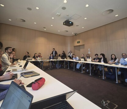
The programme featured compelling case studies, such as mapping informal settlements in South Africa (presented by Yuming Pan, UNITAC), deep learning for building change detection in Catalonia (Mariona Carós, ICGC), and AI for property tax systems in the D.R. Congo (Adele Somat, LoGRI).
The toolkit is nearing completion and will be publicly available by the end of the year, and we look forward to sharing it with our community.
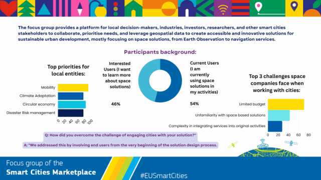
The Smart City Expo was the ideal stage to present the achievements of one year of work within the Geospatial Tools for Cities Focus Group.
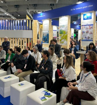
It was a valuable moment to reconnect with the Focus Group participants in person, and engage with new stakeholders interested in the role of geospatial technologies in urban innovation. A networking event at the EARSC booth was the perfect place to spark meaningful discussions and pave the way for new collaborations.
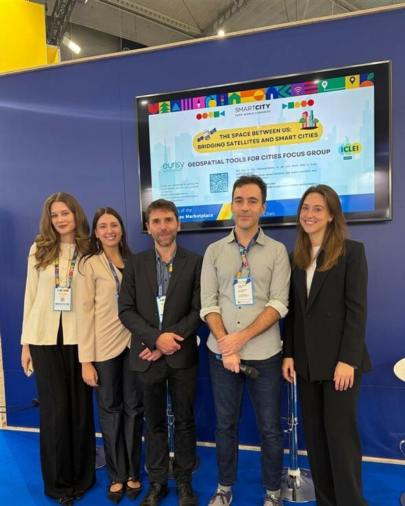
Our session, “The Space Between Us: Bridging Satellites and Smart Cities,” brought together the experts from both the space and urban sectors, creating a dynamic exchange of ideas and perspectives.
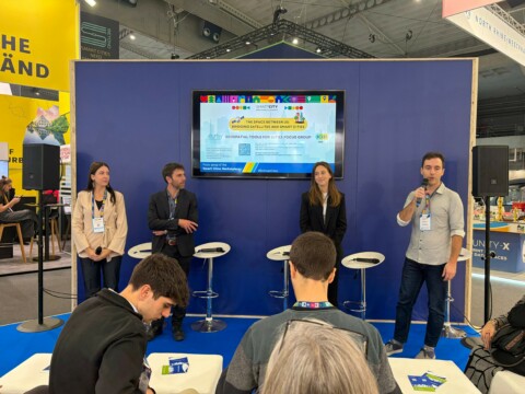
Anika Ruess (MindEarth) introduced CityNexus Pro, an innovative urban digital twin application that supports evidence-based decision-making in urban planning. Currently deployed on the EU DestinE Service Platform, CityNexus leverages AI and Earth Observation data to simulate “what-if” scenarios for sustainable mobility and urban transformations. It enables cities to forecast outcomes, evaluate trade-offs, and foster collaboration across stakeholders—an unprecedented tool for shaping resilient urban futures.
Nicolas Juguet (Keyros) presented the Oracles Project, a collaboration with Météo-France, BRGM, IGN, and Keyros. This initiative pioneers uncertainty-aware visualization tools for weather alerts, empowering authorities to make informed decisions during crises. Through a marine submersion use case in France’s Arcachon Bay, Oracles demonstrates how innovative data representation bridges the gap between scientific forecasts and operational response, enhancing preparedness and public trust. Access the presentation of the use cases here.
The session concluded with preliminary insights from our ongoing survey of Focus Group participants, revealing crucial initial trends and detailed data. These findings will inform the development of a comprehensive final report, including guidelines and recommendations for the European Commission, shaping the future integration of geospatial tools in smart city strategies, which will be published next year. Support our study by filling in the SURVEY. To learn more about the Focus Group activities visit our dedicated web page and email us at: eurisy@eurisy.eu.