GIS4Schools Logo Competition Winner Announced
About the project
Data generated by the European space programmes are the basis of each Geographic Information System (GIS). GIS is designed to capture all types of information deriving from geographical data in a visual form through maps and 3D scenes. Organising the data into different layers of information helps us to identify problems, monitor changes, respond to particular events, and to understand various spatial trends.
The GIS4Schools project aims at promoting a new approach for the involvement of pupils in STEAM (Science, Technology, Engineering, Arts, Mathematics) disciplines’ by introducing the teaching of GIS technology in secondary schools and by applying it to the thematic area of Climate Change. GIS4Schools is a project funded by the European Union programme Erasmus Plus.
The Project will have a positive impact on the European school education system by developing a scalable and reusable training package focused on the use of GIS in Climate action, which is currently absent or rarely adopted. Working with satellite data allows students, with multiple backgrounds and professional goals, to solve real-world issues. Young students will be empowered to develop business ideas using their potential for entrepreneurship. Understanding the high growth potential of the Space Economy, as well as nurturing the curiosity and cognitive resources of pupils by linking science with other subjects and disciplines will allow them to exploit the commercial potential of space assets, increasing their employability. The aim of the GIS4Schools Project is threefold:
- Creating opportunities for all in acquiring and developing STEAM competences;
- Contribute to address innovative practices in a digital era;
- Support environmental and climate goals.
The project consists of a transnational and multi-stakeholders partnership representing 5 European countries (Italy, Spain, Portugal, Romania and France) and composed by 4 Secondary Schools, 1 University, 1 Training Teaching Centre and 4 European and national Associations active in the field of Education, Space, Resilience and Climate Change. A total of about 24 teachers and 180 pupils will be directly involved in the project’s activities, and more than 200 teachers and 1000 pupils will be indirect beneficiaries.
Logo competition
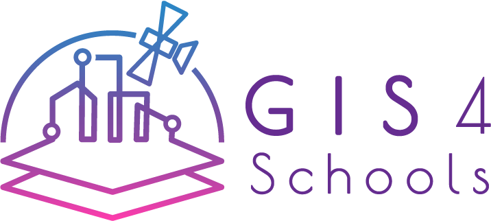
![]() Within the frame of the project, a Logo Competition was launched with the objective of giving the project a logo that reflects the expectations of the participating pupils, teachers and enthusiasts. Three logo proposals have been designed based on the core elements characterising the project: Digital Society; Climate Change; STEAM Education.
Within the frame of the project, a Logo Competition was launched with the objective of giving the project a logo that reflects the expectations of the participating pupils, teachers and enthusiasts. Three logo proposals have been designed based on the core elements characterising the project: Digital Society; Climate Change; STEAM Education.
The Competition poll ran between December 15th 2020 and January 7th 2021 through the Eurisy website and the official GIS4Schools social media platforms (Twitter, Facebook, Instagram, LinkedIn).
The winning logo
The most voted logo that will represent the GIS4Schools Project until 2023 includes the elements that embodies the Digital Society.
Logo storytelling
Today we are part of a world that relies heavily on technology to improve quality of life. Space is a high-tech sector often linked to rockets, planetary missions and black holes. Indeed, space pioneers boldly go where no one else has gone before, but it’s not just about rocket science. There are also new frontiers to be explored on our own horizon. Europe’s satellites contribute to all of our lives on a daily basis, whether it is to find the best and fastest route to school, or attending classes remotely from home. Satellite systems provide us with all the maps, navigation and communication we need!
In spite of this valuable data supply, Europe still struggles with the absence of a “data culture”. Stimulating innovative practices in a digital era is one of the pillars of GIS4Schools. Future generations are encouraged to effectively use European space assets and the resulting data stream. The digital switch is everywhere these days. Our cities are becoming increasingly smart, at the same time e-learning has never been so important. Satellite data plays a pivotal role in these trends, and while students are digital natives, they are not necessarily acquainted with processing these types of data. Learning how to interpret and use satellite data is a unique opportunity and can be an eye opener for their future!
This logo will be featured on the GIS4Schools project website, gadgets and other official materials.