Satellite-based Services for Disaster Risk Management in Athens
Many efforts have already been made to make society more resilient and to decrease its exposure to the consequences of both natural and man-made disasters. This led not only to an increased understanding of disasters, but also to better preparedness, and post-disaster response and recovery.
While advancements in disaster management have been made, the number of weather-related disasters is poised to increase in the future driven by climate change and other factors like industrialisation and increased urbanisation. According to the World Meteorological Organization (WMO) Atlas of Mortality and Economic Losses from Weather, Climate and Water Extremes (1970–2019), more than 11 000 disasters were reported between 1970 and 2019 attributed to weather, climate and water-related hazards, with over 2 million deaths and more than 3 trillion euro in economic losses. The number of disasters has increased by a factor of 5 over this 50-year period. A recent study performed by Christian Aid showed that in 2021 alone, 10 extreme events influenced by climate change caused each 1.3 billion Euro damage or more.
Europe is not exempt. According to the European Civil Protection and Humanitarian Aid Operations (ECHO) in the EU, from 1980 to 2020, natural hazards affected nearly 50 million people and cost Member States an average of 12 billion euros per year.
The rapid growth in the use of satellite applications over recent decades, has the potential to help mitigate the impact of climate change and related hazards. Earth observations, Global Navigation Satellite Systems, and satellite communications all support crucial phases of Disaster Risk Management, from prevention and preparation to response and recovery.
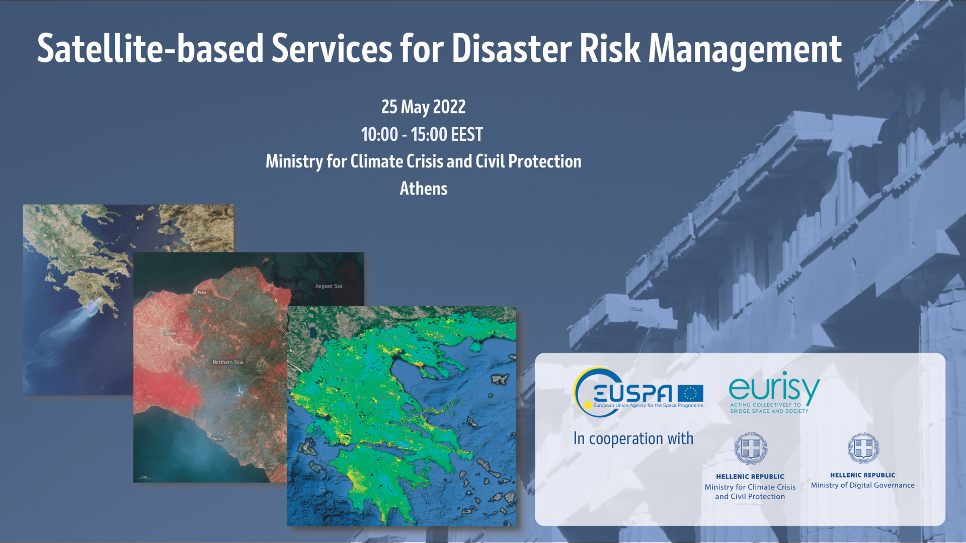
The workshop “Satellite-based Services for Disaster Risk Management” held on May 25th in Athens, aimed at creating a common understanding among Greek and European stakeholders of what satellite-based services can bring during the disaster management cycle and of how to facilitate the access and use of such solutions at national and regional levels.
The workshop was organised by the EU Agency for the Space Programme (EUSPA) and Eurisy, in cooperation with the Greek Ministry for Climate Crisis and Civil Protection and the Ministry of Digital Governance.
The workshop gathered national stakeholders to present national capabilities, share experiences, exchange best practices and discuss the benefits of satellite-based services for disaster management and the challenges related to their operational use. The workshop’s objectives were manifold:
- Raise awareness about existing operational services based on Copernicus and Galileo, and about mechanisms to integrate them into the workflows of relevant stakeholders;
- Collect feedback from stakeholders on user needs and experiences in the integration of satellite-based services for disaster management;
- Discuss methods to improve accessibility to satellite-based services for disaster management
- Identify the challenges hindering the uptake of satellite-based services
- Define policy recommendations, both at national and international levels and provide the basis for a roadmap to smoothen the integration path of satellite-based services.
The workshop was hosted at the premises of the Greek Ministry for Climate Crisis and Civil Protection and took place in a hybrid format. All the speakers joined the event in presence, while part of the audience attended remotely.
The event aimed at introducing the audience to some of the challenges and risks related to natural hazards at the local level, highlighting the potential uses of satellite applications during the different phases of the disaster risk management cycle. After the keynote speeches from EUSPA Executive Director and the Greek Ministerial representatives, the workshop was structured into two panels focused on a double perspective- service providers and users- with national case studies:
- The first panel “Space assets supporting the Disaster Risk Management Cycle. What can space data contribute to the prevention, preparedness, response, and recovery?” intended to raise awareness on satellite-based services for disaster risk management, focusing mostly on national operational services, their use and integration of derived information into daily workflows.
- The second panel “Current challenges and opportunities related to the uptake of satellite data. Users’ best practices and lessons learned stemming from the use of satellite applications in their daily operations”, focused on the user perspective, collecting feedback from the experiences of user communities (farmers, civil protection corps, academia, forest managers).
Greece is very prone to extreme weather phenomena due to its geographic position. During the summer of 2021, intense droughts and wildfires affected the country with severe consequences on the land and life of citizens. As stated during the opening remarks of the workshop by Christos Stylianides, Minister for Climate Crisis and Civil Protection, “satellite technologies have proven to be invaluable in addressing emergencies with an enormous potential to further contribute to effective response and adequate recovery” in case of natural disasters. Information retrieved from satellites are poised to become an integrated element of the modern disaster management cycle especially when it comes to climate change related events.
According to Christos Stylianides, Minister for the Climate Crisis and Civil Protection, climate change should be considered as a natural disaster itself. Such an approach is meant to provide a holistic framework methodology incorporating cutting-edge innovation and technology, to better and more effectively tackle its hazardous effects. Remote sensing imagery has been successfully used in both disaster management prevention and preparedness phases. Satellite data has been exploited to generate systematic information to support long-term temporal series of climate phenomena, whilst improving early warning of extreme events and the accuracy of disaster’s consequences forecasts. Mr Stylianides reaffirms the country’s need to bridge existing technology gaps between traditional emergency management approaches and what technology can offer to public authorities to protect their citizens.
Athanasios Staveris-Polykalas, Secretary General of Telecommunications and Post within the Ministry of Digital Governance, highlighted the key role satellite communication plays in case a disaster occurs. Greece is currently at the forefront of the satellite communication innovation, especially in the field of secured governmental communication. The launch of Hellas Sat-3 and -4 in 2019, allowed Greece to implement its national GOVSATCOM system connecting parliament, ministries, and civil protection authorities enabling secured communication especially in critical conditions. The digitalisation of the emergency response to guarantee the safety of Greek citizens is a priority of the government’s action.
Nevertheless, disasters are not affected by borders: multi-stakeholder cooperation at any level, from international to local, is crucial to ensure the resilience of any country. At a national level, the Greek Ministry of Digital Transformation and the National Civil Protection are jointly developing an early warning system providing life-saving information to the public through multiple communication pathways relying on several integrated technologies, as described by George M. Karagiannis, Deputy Secretary General for Civil Protection.
At the European level, the interoperability of the satellite navigation system Galileo and the Earth Observation programme Copernicus increase the safety of citizens around the globe. The EU Space Programme, composed of its flagship Galileo, EGNOS, Copernicus and now GOVSATCOM, is strengthening the capacity of the European Union to act in all phases of disaster risk management, as recalled by Timo Pesonen, Director General for Defence, Industry and Space at the European Commission.
Rodrigo da Costa, Executive Director of EUSPA, described how Galileo data is already widely used for search and rescue (SAR) operations increasing the accuracy of the signalled location while reducing operators’ time to respond in a situation of distress. Galileo/SAR is the only system delivering the Return Link Service (RLS). Galileo is designing new features to answer the operational needs of SAR units as closely as possible, to save even more lives. The Remote Beacon Activation Service (e.g. in the case of the disappearance of a plane or a vessel) and the Two-Way communication functionality (that allows rescue coordinators to send pre-programmed questions and instructions to the person in distress) is due to enter into preliminary testing shortly.
As of the 17th of March 2022, all the new generation smartphones are integrated with Galileo receivers to increase the location accuracy of the 112 calls in case of distress.
In addition, the Advanced Mobile Location (AML) protocol is now in place. Since 1999 the European Emergency Number Association (EENA) is actively working to implement an effective 112 service to support people in an emergency. According to Alexis Gizikis, Project Manager at the European Emergency Number Association (EENA), EENA strives to drive change by bringing in technology to resolve existing problems in emergency and disaster management. The AML is a service aiming to overcome the critical issue to determine the exact location of a caller in distress. The development of the AML represents a win-win solution for both emergency services and callers. The system is automatically activated when an emergency call is placed through the GNSS system included in mobiles to quickly and precisely geolocate the caller, drastically reducing the action time. The system does not require an app or any additional steps from the caller and is completely free of charge. The only requirement is the implementation of the system. As of February 2022, 30 countries worldwide have deployed AML.
Ensure safe communication to the emergency service, especially while or after a disaster occurred, is critical to support emergency operations. As mentioned during the opening of the workshop by Athanasios Staveris-Polykalas, Greece is now one of the six countries in Europe with a national operational secure communication system. In this context, Thomas Kalamaris – Technical Director of Hellas Sat, reported that Hellas Sat 3 and 4 have been specifically designed, in cooperation with the Greek Government back in 2017, to facilitate through Greecom internal secure communications between national authorities and embassies, especially during emergencies. Mr Kalamaris mentioned that today Hellas Sat is expanding its offer to the Greek government by looking at other technologies that are usually integrated into the disaster management cycles such as UAV.
Earth Observation has become a cornerstone of disaster risk management. Satellite remote sensing provides decision-makers and civil protection authorities with objective and timely information. This is the case for early warning systems, but also for information on the extent of a disaster immediately after impact. Even through the thickest clouds, radar observations allow monitor areas impacted by a disaster. Haris Kontoes, Research Director, presented two indigenous operational services developed by Beyond-EO Centre of Excellence. Firehub is an example of how a EO-based solution can be used to respond to wildfires. Risk analysis, AI validated predictions together with fire and smoke dispersion maps, are made publicly available for open consultation. FireHUB products can be used from the early warning phase to the post-disaster one, supporting the preparedness and mitigation capacity of relevant entities. Only in 2021, Firehub has been activated 14 times in the Attica region – one of the most affected during the last fire season. The second service, the FloodHUB system , was co-designed with local users to better respond to real needs. The platform delivers final and actionable information, allowing them to familiarise themselves with a technology-based solution improved through capacity-building mechanisms at both national and regional levels.
Both the Fire and Flood Hubs integrate Copernicus data. Copernicusoffers a set of services helping authorities to take informed decisions in different fields among which are emergency and disaster management. As presented by Laura Bettili, Senior Expert at the Copernicus Emergency Management Service, CEMS comprehend a rapid mapping service and the Risk and Recovery Mapping both accessible by authorised national authorities. The Copernicus rapid mapping service is active at all times. It can provide EO data in a time average spanning between a minimum of 24 hours to a maximum of 5 days. The service is managed by the European Commission’s Joint Research Centre (JRC) and the Emergency Response Coordination Centre (ERCC – DG ECHO). Over the last 10 years, it has been activated mostly in conjunction with floodings, wildfires, windstorms, and humanitarian crisis. Greece counts 37 activations making it the third country in Europe in terms of activations requested, after Spain and Italy.
The Risk and Recovery Mapping supports prevention, preparedness, mitigation and recovery activities and is operational only during working hours. It provides maps built integrating several EO data with information on exposure, vulnerability, and resilience for all types of hazards, and in post-disaster phases they can add impact assessment analysis. On May 18th, 2022, this service has been activated for Multi-risk analysis of the Delphi and Ancient Olympia archaeological sites to produce hazard, exposure, vulnerability and geo-data risk and maps to prepare evacuation plans.
Thanks to its free data and services policy, the Copernicus programme sensitively contributes to the overall economy. Stelios Bollanos, Co-founder & Director of Planetek Hellas,stressed the relevance of this policy to stimulate entrepreneurship, increase revenues and create specialised jobs. As reported in the last EARSC Industry Survey 2021 between 2006 and 2020, Greece managed to boost the local space ecosystem marking a steady increase in revenues and EO employees. In the country, the space downstream segment is rapidly flourishing as illustrated by the capacity to gain about 1% of the overall Copernicus’ service components contract. The development of this part of the space value chain, tightly linked with other digital technologies, is crucial to multiplying economic growth.
Space assets supporting the Disaster Risk Management Cycle
What can space data contribute to prevention, preparedness, response, and recovery? The answer to this question comes from the multiple national examples that have been developed by Greek SMEs, research centres and public institutions.
The National Observatory of Athens (NOA)
is developing satellite-based solutions for disaster risk management integrating other technologies such as Artificial Intelligence (AI). Ioannis Papoutsis, Researcher at the Institute of Astronomy, Astrophysics, Space Applications and Remote Sensing of the National Observatory of Athens, highlighted the global trend showing a correlation between the rise of temperatures and the frequency of extreme weather events. One of the most visible effects of this phenomenon is represented by wildfires. At NOA, EO and AI are combined to develop a machine learning model predicting the likelihood of actual fires to take place. Data can be made available to first responders and planners with a one-day delay. This service developed as part of the international cooperative project Deep Cube, includes historical fires time series data over the last 10-15 years covering the Mediterranean region including meteorological contexts, burnt areas, vegetation, and land use. Through machine learning, the emerging correlations are better understood, and by using AI semantics it is possible to assess which geographic areas are more at risk than others.
Synergies between AI and Earth Observation are currently studied at the European level. Bringing AI and Copernicus together represents an opportunity to develop a new generation of products. The European Commission as well as national programmes are calling on researchers and industry to investigate this topic. AI4Copernicus introduced by Vangelis Karkaletsis, Director of the Institute of Informatics & Telecommunications (IIΤ) at NCSR Demokritos, is an innovative Horizon 2020 funded project.
The main project goals are:
- Integrate existing resources and EO data to provide access to training material and expertise enriching the AI4EU resources catalogue;
- Foster the AI4EU and Copernicus communities to solve real problems of business and societal value, through Open Calls;
- Drive the evolution, uptake, and impact of the AI4EU and the DIAS platforms.
Dr. Karkaletsis emphasised the opportunities offered by the AI4Copernicus project to the external partners, namely the four open calls on AI&EO for industrial domains, societal challenges, scientific experiments, and citizen social challenges. The relevance of such calls is to support the creation of an open, inclusive, and sustainable AI-EO innovation cycle bridging the gap between AI- and data-driven innovation while providing economic, social & environmental benefits.
Effective prevention and sustainable recovery from wildfires are key for Mediterranean countries, highly exposed to wildfires. This is the case of the PREFER project- Space-based Information Support for Prevention and REcovery of Forest Fires Emergency in the MediteRranean Area. The project, presented by George Eftychidis, Head Satways RTD, was concluded in 2015. Its objectives were to design and develop a pre-operational demonstration of space-based end-to-end information service supporting the prevention, preparedness and recovery of local communities from forest fires in the Mediterranean area. The Information Service consisted of a centralised system for archiving, visualisation, and delivery to end-users of the spatial product, such as seasonal fuel maps, seasonal hazard maps, vulnerability maps, seasonal risk maps, daily hazards maps and prescribed burning maps.
Nikolaos Bartsotas, Post-Doc Researcher in Atmospheric Physics and Numerical Weather Prediction at the National Observatory of Athens, presented a different perspective on the integration of satellite data for informed decision making, especially to adopt recovery measures. Instead of implementing a top-down technology-push approach executed for research purposes, the Beyond Centre is revolving around this methodology centralizing the users and developing solutions addressing actual needs to ensure market sustainability maximising the service adoption in operational practices. The service effectively combines climatological, earth observational, in-situ and state-of-the-art numerical weather prediction data in high resolution, towards a more sophisticated monitoring of precision agricultural needs. This user-centric approach has been tested in three main sectors:
- Agro-insurance;
- Farmers’ Cooperatives;
- Industry
One example entails the need expressed by the insurance firm InterAmerican to develop diversified agricultural parcels’ primes instead of offering a flat insurance rate over a region.
Current challenges and opportunities related to the uptake of satellite data. Users’ best practices and lessons learned stemming from the use of satellite applications in their daily operations
The second panel of the workshop aimed at bringing the perspective of the users of satellite applications from different end-user communities focusing on their main challenges and benefits.
Copernicus, hence satellite based data and information has been widely used for disaster management by Greek authorities, especially the national Civil Protection. Andreas Antonakos – Hydrogeologist MSc. Civil Protection Greece reported that the Emergency Planning, Prevention and Response Directorate of the General Secretariat for Civil Protection (GSCP) was appointed the national focal point for Greece for the Emergency Management Service (EMS). Over the past ten years the GSCP activated the rapid mapping 38 times for flooding (11 times) and forest fires (27 times) mainly concerning the Attika and Peloponnese regions. The number of activations increased over time reaching a peak in 2021. As reported by Mr Antonakos, Copernicus EMS mapping has been mainly used in the phases of response and early recovery, while rarely for prevention by local or national entities such as forestry services, fire services, the Hellenic Agricultural Insurance Organisation, services of the regions and municipalities, utility network agencies, etc. The delivery of CEMS products depends on a series of factors including the time span between the disaster and the request of activation of the service, the availability of images for the affected area at the needed time, as well as more technical related aspects such as cloud or smoke coverage.
Zisoula Ntasiou, Fire Lieutenant-Colonel in the Hellenic Fire Corps, represents one of the Greek public authorities using satellite data for their daily workflow. Located in Athens, the Hellenic Fire Corps developed a real-time operational system to facilitate the collection of recordings on hazardous events. The system gathers data from citizens, fire patrols, municipalities, navy, coast guard, as well as webcams and infra-red images from 13 regional prefectures scattered over the national territory. To complement the system, the Hellenic Fire Corps developed a suite of mobile and web apps to support main actors and general public to report on incidents and emergencies. Besides infra-red, Copernicus Sentinel images are used for map production for geospatial intelligence and decision-making support. Since 2013 the Hellenic Fire Corps collaborates with the National Observatory of Athens to exchange data, know-how and services developed and provided within the responsibilities and activities of both parties.
One of the oldest applications of geospatial data is to inform Armed Forces to rapidly react in the case of disasters. Such a service is delivered since 1889 by the Hellenic Army Geographical Corps (HAGS), the oldest gre referenced service of the country. Panagiotis Fragkosis, Major of the Hellenic Army Geographical Corps illustrated the three main phases of disaster risk management cycle supported by their services:
- Risk Management Planning;
- Crisis Response;
- Post event assessment and restitution.
Maps are provided through rapid deployment of overlayed EO images before, during and after an event occurres. The challenges of the HAGS in providing up-to-date maps and information are the availability of satellite imagery both in terms of time and quality (deriving from weather uncertainty, such as clouds and storms); orbital sensors restrictions related to the observations including jurisdiction, privacy and resolution, and the need for a more processing automation that currently requires cumbersome methods and long procedures.
Floods, intense rain or unexpected cold among other extreme events damage crops and negatively affect areas dedicated to farming, decreasing soil fertility. In Greece, InterAmerican supports both farmers and agri-food companies to recover from such events through dedicated insurance schemes. Alexandra Ntinopolou, Corporate and Special Risks Solutions Manager at InterAmerican, illustrated the current use of ResAGRI to optimise the development of targeted primes. To address the need of the firm, the Beyond Centre analysed and merged 40 years of satellite data with the damage record held by Elgar, the public insurance authority that farmers are mandated to use in Greece. Through the obtained database it was possible to identify in a short amount of time areas in specific distress after an incident, avoiding time and resource-consuming evaluations by an agronomist. In addition, to a damage assessment solution, it was possible to develop a satellite-based early-warning forecast on a regional scale, and a fraud protection system where farmers can avoid deceptive client applications in the vicinity of extreme weather events.
On the other side of the spectrum, farmers also need digital solutions for more efficient and sustainable productivity driven by innovation. Georgios Zanakis, Marketing and Development Manager at Corteva, presented some of the solutions they developed to overcome farmers’ challenges as optimisation of plant timing. The Granular Hub is a farm management software helping growers professionals to build and sustain their business. Such software provides the farmers with data driven crop models and insights through satellite high-frequency data including weather forecasts, soil moisture information and literature on seed germination to boost the productivity of the yields.
Satellite-based land monitoring is an asset for many industries as demonstrated by PROION, a project presented by Christos Kontopoulos, CTO, Geosystems Hellas. PROION integrates SAR calibration measurements from Sentinel-1, Cosmo Sky-Med and TerraSAR-X to detect soil deformation in the tectonically and seismically active area of the so-called Greek “Superstite” within the Achaea region. PROION has been developed to monitor critical infrastructure in close cooperation with end users. Key takeaways from the applied process relate to the need for training and consultancy service to fully exploit the data. Mr Kontopoulos insists on the importance to disseminate the satellite-based knowledge derived from projects, promoting the development of free access to open data platforms that could help increase the use of satellite-derived products. Similarly, service providers and companies should expand on previous case studies and success stories to engage with new customers and users.
The full report can be downloaded here: Satellite-based Services for Disaster Risk Management – Eurisy