The Copernicus Hackathon Sofia 2020
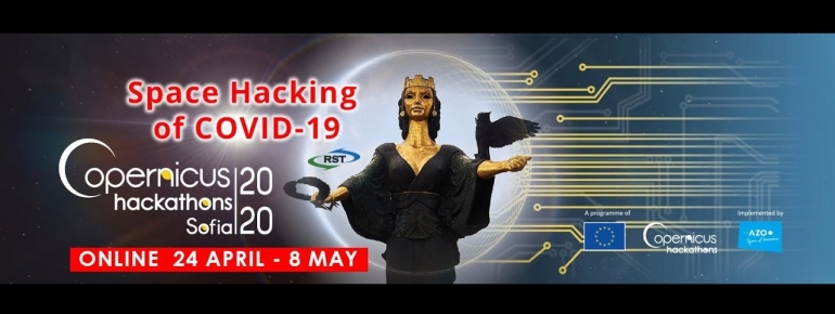
Due to COVID-19, the Copernicus Hackathon Sofia 2020, organised by our Bulgarian member the Risk-Space Transfer Office (RST-TTO), has become a virtual one. Eurisy is supporting the event.
Read more
Due to COVID-19, the Copernicus Hackathon Sofia 2020, organised by our Bulgarian member the Risk-Space Transfer Office (RST-TTO), has become a virtual one. Eurisy is supporting the event.
Read more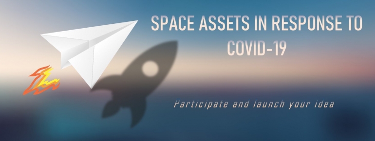
In our previous article “What we can learn from the Coronavirus crisis with satellite data”, we illustrated how space-enabled solutions contribute their share in the fight against this pandemic, and what satellite data tell us about the extraordinary current situation. We now hope that this overview of satellite applications may serve as inspiration in order to participate in the ongoing open calls that we list here.
Read moreThis article illustrates how space-enabled solutions contribute their share in the fight against the COVID-19 pandemic, and shows what satellite data tell us about this extraordinary crisis situation.
Read more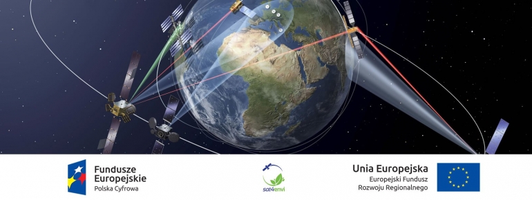
The Sat4Envi initiative is a national operating system for gathering, sharing and promotion of digital satellite information about the environment in Poland. By providing civil servants with better tools to manage stallite-based services, it contributes to the public administration’s transition towards a digital economy.
Read more
e-shape (EuroGEOSS Showcases: Applications Powered by Europe) - a new project funded under the European Union’s Horizon 2020 Programme gathering 54 consortium members kicked off to deliver a suite of Earth Observation services to EU citizens, researchers, businesses and policy makers through the implementation of 27 pilot projects spanning 7 thematic areas aligned with UN Sustainable Development Goals.
Read more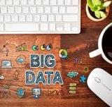
Companies, governments, and individuals recognise Big Data and Open Data policies as drivers of innovation and growth. Satellite data is undoubtedly part of this Big Picture. But where does it stand? The EC, SMEs and civil society shared with us their views and expectations on Big Data.
Read more
When it comes to satellite data, open data policies have come to be expected and welcome from public entities. However, a private satellite data provider going for the same policy will make some noise and raise some eyebrows. Surely the very point of such companies is to make money from selling such data, not giving them away for free. And yet…
Read more
Many obvious geographic data user networks need, access, manipulate and use Big Data, but satellite data still lags behind in the mix. Hopefully, some things are about to change! We showed some examples during the latest round table organised in cooperation with ROSA, ESA and the EC.
Read more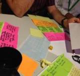
2015 is the year France will host the 21st Session of the Conference of the Parties to the United Nations Framework Convention on Climate Change (COP21). The expected results of the C3 initiative – that is, innovative applications relying on data and emerging from the collective intelligence of citizens, companies, start-ups, civil society, students – will feed into the COP21. As far as initiatives of this kind go, C3 is exemplary in making climate change, but also innovation, everyone’s business.
Read more
Dr. Gediminas Vaitkus is the owner of Geomatrix UAB, a small Lithuanian company that has successfully participated in the development of Copernicus core services. It specialises in automated geospatial data processing. Now that the Sentinels are being launched, we asked Dr. Vaitkus about his point of view on the prospects the Sentinels bring for small and medium businesses.
Read more