Space to drive the smart and green mobility transition
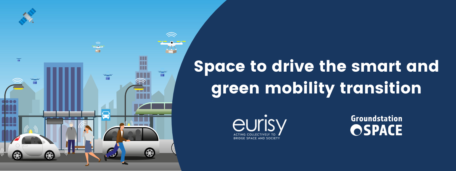
With its Sustainable and Smart Mobility Strategy, the European Commission laid the foundation for how the EU transport system can achieve its green and digital transformation. As outlined in the European Green Deal, the result should be a 90% cut in greenhouse gas emissions in transport by 2050, delivered by a smart, competitive, safe, accessible and affordable transport system. Today, transport accounts for a quarter of the Union’s greenhouse gas emission. As shown throughout this series of Space Opportunities for Climate Challenges, space can be an enabler for smart and green solutions. So how is this the case in mobility?
First of all, mobility includes numerous ways of transport. Road transport accounts for the biggest share in emissions, followed by civil aviation, waterborne transport and railways. Satellite solutions in these sectors contribute to the digital transition. Eurisy’s database of success stories contains a wide variety of operational satellite-based services. It demonstrates how end users (city administrations, airport operators, infrastructure managers, etc.) can really benefit from such services. The most obvious use cases of satellite data in mobility rely on navigation systems. A few examples include: autonomous shuttles, urban cycling, improved traffic lights, a tolling system, railway traffic management and flight safety. There are also use cases in mobility involving satellite remote sensing and satellite communication systems such as to monitor global transports, or to monitor air and noise pollution.
The different presentations throughout the webinar provide an excellent overview for potential end users of the latest satellite applications in smart mobility.
European Year of Rail
As Satellite and Multi-Sensor Navigation Systems Researcher at RadioLabs and in her capacity of technical manager at GATE4Rail, Alessia Vennarini talked about the use of satellite positioning in railways applications. 2021 is the European Year of Rail. This initiative highlights the benefits of rail. Rail transport is responsible for only 0.5% of the greenhouse gas emissions from transport in Europe and holds the lowest rate of fatalities. Indeed, it is a very sustainable and safe means of transport. The GATE4Rail Project as part of the Shift2Rail Horizon 2020 initiative, provides a laboratory test architecture capable of simulating railway scenarios for GNSS-based applications. Using a digital twin environment, the objective is to model and verify GNSS reception along a railway line. The GATE4Rail platform combines a fail-safe train positioning system with zero on-site testing. This lowers the cost and improves the efficiency of testing technologies which also helps to harmonise the European approval process. Deploying the GNSS solution will lead to an increase in line capacity without the need to enlarge infrastructure. Ultimately, Shift2Rail will contribute to a more competitive and resource-efficient European transport system.
Urban cycling
As Lead Developer, Mihai Ghete presented the Austrian company Bike Citizens. Their aim is to improve the urban cycling experience. The Bike Citizens app provides a smart route calculation feature, an option to record activities and collect individual data, as well as campaigns to motivate people to cycle. With this app, Bike Citizens builds a community and connects cyclists. The user base provides statistics and heatmaps which in turn helps to promote and enhance the cycling experience. Additionally, the app stimulates cycling through gamification, rewards, and by involving its users. The gathered information on how people cycle can be analysed to get new insights, for instance on the quality of roads, popular routes, as well as to detect untapped potential. The app helps cities and governments to better plan infrastructure and prioritise improvements, resulting in more cyclists in urban areas. Bike Citizens also participates in research projects such as climate-fit.city to gain a better understanding of how climate (e.g. heat waves, floods, pollution, etc.) affects cycling. It shows urban planners which areas of their cities need specific adaptations to improve their climate resilience. Reducing cyclists’ sensitivities to weather and climate variability can play an important role in promoting cycling as a green mode of transportation.
Satcom for aviation
Céline Dubron presented her research within ESA and Inmarsat’s Iris programme to make aviation safer, greener and more efficient with a new satellite-based air–ground communication system. Iris is designed to enable initial 4D trajectories, pinpointing an aircraft in four dimensions: latitude, longitude, altitude and time. The satcom technology is able to tackle two inefficiencies. First, it can continuously optimise flight paths and air traffic resulting in shorter flight paths and a reduction in fuel burn. Second, it can relieve pressure on congested terrestrial channels. This could avoid holding patterns, manoeuvres made by aircraft awaiting clearance to land which add on average an extra 12 km to a flight. By 2028, Iris will enable full 4D trajectory management over airspaces across the globe and the data link will be the primary means of communications between controllers and cockpit crews. Cumulatively, this flight-optimising software could result in 140 million tonnes of CO2 reduction by 2030, leading to €17 billion in savings.
Urban Air Mobility
The last speaker, Vassilis Agouridas, Head of EU Public Co-Creation & Ecosystem Outreach and leader of the UAM Smart Cities Marketplace Initiative, covered space for urban air mobility (UAM). UAM encompasses air passenger and cargo transportation within cities, with vehicles ranging from small drones to passenger aircrafts. The EU Urban Air Mobility Initiative Cities Community (UIC2) puts the focus on the user perspective from local cities and regions and aims to contribute to the creation of a market for urban air mobility. Drones could be a way to address mobility needs such as in emergency situations and traffic congestion. Space technologies and data can play a key role in the development and operation of UAM. Global Navigation Satellite Systems (GNSS) will contribute to UAM operations by allowing the vehicles positioning, navigation and tracking. Satellite Communications can also safely and securely connect mobile UAM vehicles with control centers in the absence of terrestrial communications or in case of terrestrial network failures. Earth observation data provides diverse geospatial, environmental, mapping information, and in combination with other data, it can support the strategic planning of the UAM infrastructure. More information can be found in this call for space opportunities in urban air mobility of the European Space Agency (ESA).
Funding & Innovation Opportunities
With the Space for Air Mobility call, ESA, in collaboration with European cities, aims to support the development of innovative space-based applications which could foster the implementation of safe and secure operations of the next generation urban mobility. Another ESA opportunity calls for Intelligent Transport. With the concept of smart cities transmuting into digital societies, intelligent transport systems become the indispensable component for making the life of citizens easy in every facet. Finally, ESA also opened a call for Smart and Uncrewed Shipping. Together with Eurisy, ESA also organised The Challenges of the Blue World webinar series.
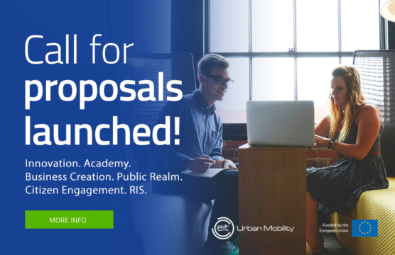
Under the European Institute of Innovation and Technology’s (EIT) Urban Mobility initiative, a set of EIT calls for proposals were launched. Each call focuses on different key aspects of innovation within Urban Mobility.
Horizon Europe will consist of three pillars and several thematic clusters among which mobility. The work programme for this area is expected to be available in Spring 2021.
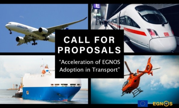 The European GNSS Agency (GSA) has just launched a new Call for Proposals for the “Acceleration of EGNOS Adoption in Transport”. The objective of the Call is to foster EGNOS uptake in the European aviation, maritime, inland waterways and railway sectors. The deadline for submissions is 19 July 2021. An informative webinar on the call will be held on 23 April.
For future opportunities, keep an eye on CIVITAS, the network of cities for cities dedicated to cleaner, better transport in Europe and beyond. The Urban Mobility Observatory Eltis also facilitates the exchange of information, knowledge and experience in the field of sustainable urban mobility in Europe. Finally, be sure to hop on the Connecting Europe Express during this European Year of Rail. The schedule foresees stops in most European capitals, with events and other activities planned at local level, taking into account local COVID-19 measures.
One-minute pitch
Ayşe Kaşıkçı, independent investment consultant, closed the webinar with a one-minute pitch. Ayşe has experience in automotive and in the field of fuel in the industry’s leading private companies. In addition to her professional experience, she is actively working on social responsibility, electromobility and renewable energy.
Stay tuned!
Our next session, Space for Water Resources, will take place on 5 May 2021! You can already register here.

In the meantime, join us on the Open Campus networking platform where you will find more information about the previous sessions, including the presentations and recordings.
Tell us more about your space-related innovation! Sending us your success story or register for a one minute pitch at the next session.