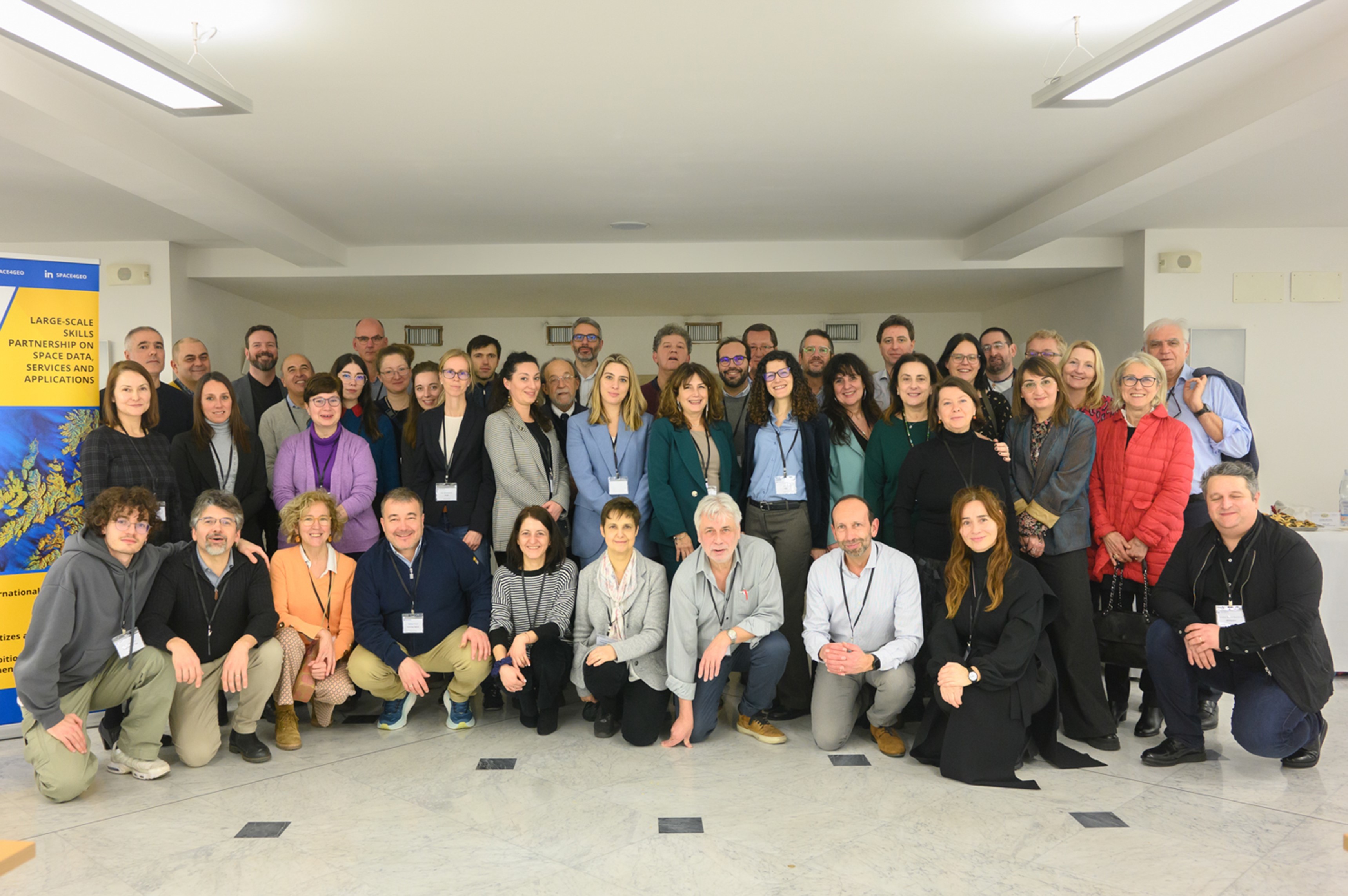
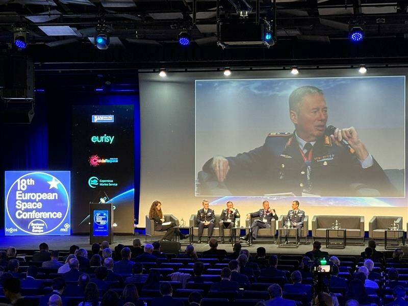
Video: Monitoring plant health from space
A new video from Eurisy and ESA highlights the potential contributions of EO data to enhance the monitoring of plant health.
Read moreA new video from Eurisy and ESA highlights the potential contributions of EO data to enhance the monitoring of plant health.
Read moreOn the occasion of the Living Planet Symposium held in Bonn in May 2022, our report "Messages to the above: looking at art from the sky" became a poster exhibition.
Read moreThe third edition of the CASSINI Hackathons & Mentoring is here! From 12-14 May 2022, you will be challenged to develop ideas that support sustainable travel, enhance the experience in local cities and cultures, and promote thoughtful exploration of Europe’s nature. Discover how you can help the tourism industry to become more resilient and sustainable with digital satellite solutions!
Read moreEurisy recently joined as an associated partner the EO4GEO project. In the frame of this partnership, Eurisy aims at contributing to the acquisition of EO and GI skills for professionals and to stimulate the curiosity of the younger generation, also relying on the involvement of Eurisy in the Erasmus+ GIS4Schools Project.
Read moreThe GIS4Schools project is about to define the school of tomorrow! The Erasmus+ funded project aims at promoting a new innovative approach to foster the teaching of STEAM topics in secondary schools. Pupils will have the opportunity to learn about GIS technology and how to use GIS to respond to climate change challenges.
Read moreThe Week of GI-Education for the Future aims to bring together teachers, experts, practitioners and students to present and discuss recent advances in GI-education and think about GI-education for the future.
Read moreThe final logo of the GIS4Schools Project has been decided!
Read moreContribute to the definition of the visual identity of the GIS4Schools project, and vote for your favorite logo among three proposals!
Read moreThe improvement of STEAM education in Secondary Schools is the core objective of the Erasmus+ funded project “GIS4Schools”. Pupils will learn about GIS technology and how to use it to respond to climate change challenges. The project gives them the opportunity to use satellite data, provided by the European Earth Observation Programme Copernicus EU, at school.
Read moreTo keep you up-to-date with the latest news and innovation around satellites, we’re counting down our month’s top highlights!
Read more