GIS4Schools Logo Competition Winner Announced
The final logo of the GIS4Schools Project has been decided!
Read moreThe final logo of the GIS4Schools Project has been decided!
Read moreContribute to the definition of the visual identity of the GIS4Schools project, and vote for your favorite logo among three proposals!
Read more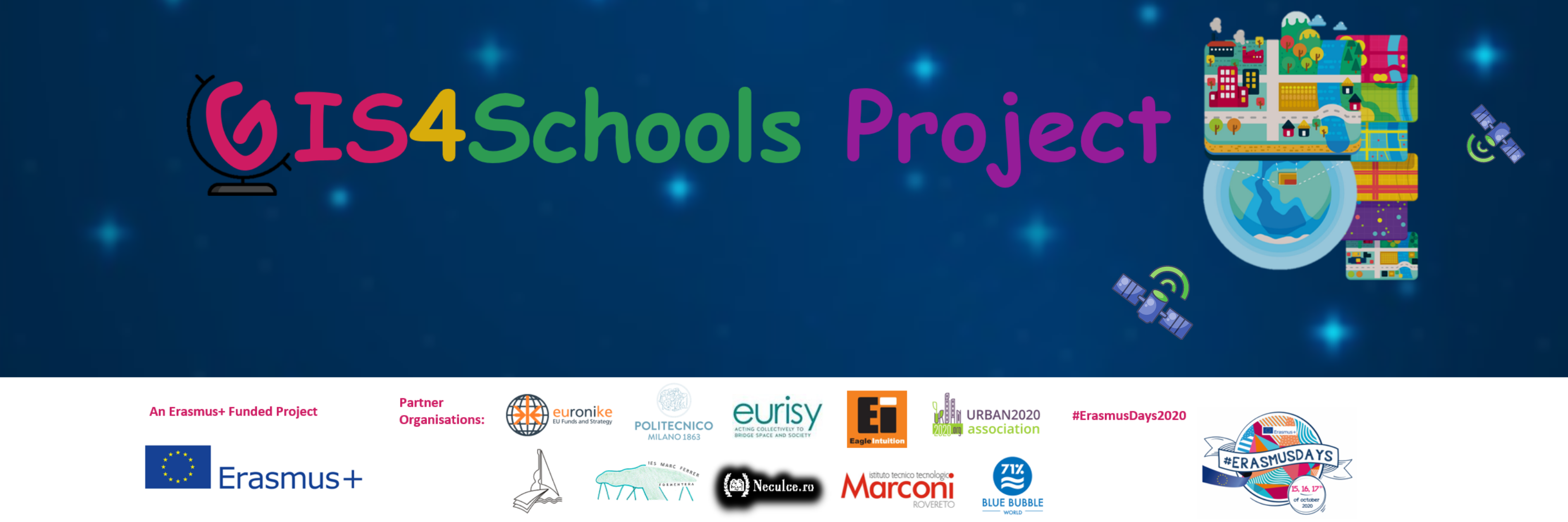
The improvement of STEAM education in Secondary Schools is the core objective of the Erasmus+ funded project “GIS4Schools”. Pupils will learn about GIS technology and how to use it to respond to climate change challenges. The project gives them the opportunity to use satellite data, provided by the European Earth Observation Programme Copernicus EU, at school.
Read more
To keep you up-to-date with the latest news and innovation around satellites, we’re counting down our month’s top highlights!
Read more