/

Eurisy Annual Activity Report 2022-2023

The Annual Activity Report for the year 2022-2023 gives an overview of the activities undertaken by the secretariat, represents a summary of events, publications, testimonials of Eurisy’s members and projects executed by the association. The publication provides the reader with key information regarding communication and outreach efforts and serves as a tool for raising awarness about the functioning of the association.

/

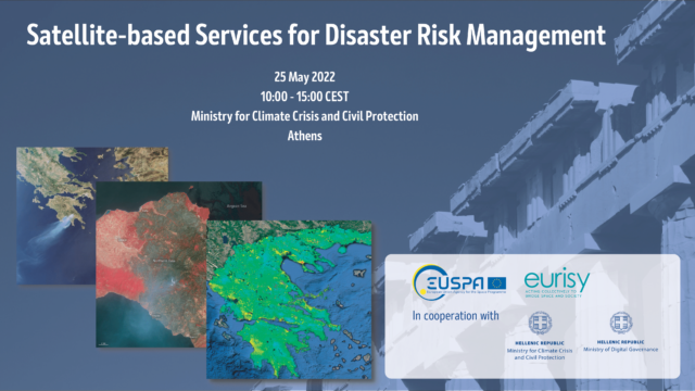
Satellite-based Services for Disaster Risk Management

EUSPA together with Eurisy, in cooperation with the Greek Ministry for Climate Crisis and Civil Protection and Ministry of Digital Governance, organised a workshop in Greece to present operational satellite-based services for disaster risk management. In this report the outcomes of the event have been collected.
/

Space for Cities: EO for Sustainable Development

The report contains the main messages from the Space for Cities Workshop “Earth Observation for Sustainable Development”. It covers the contents of the workshop, including the policy context for the development of the EO Toolkit for Sustainable Cities and Human Settlements, two use cases from cities, two platforms providing EO data for cities and the synthesis of the panel discussion.

/

Space Opportunities for Climate Challenges

From November 2020 to July 2021, Eurisy and DotSPACE hosted a series bringing together research, government and industry experts to talk about their innovative solutions related to climate. Throughout the Space Opportunities for Climate Challenges series, various examples have been showcased proving that satellite solutions can contribute to the green transition. For example, satellite remote sensing can rapidly reveal where to reverse the loss of biological diversity. Variables such as vegetation productivity or leaf cover can be measured across continents from space and can help forest managers to implement more sustainable ways of working. Furthermore, space is relevant for the management of maritime-related matters, as it is for smart mobility and urban planning. When it comes to energy, space can play a pivotal role in the decarbonisation of our economy. The daily space data stream also provides insights about air and water quality, as well as irrigation systems, and even tourism.

This publication calls on potential users and decision-makers to look at these satellite services in order to implement their climate adaptation policies more easily.

/

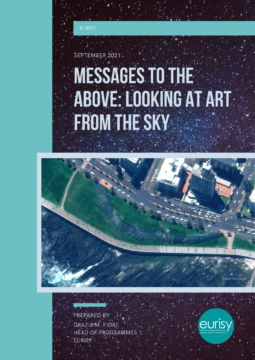
Messages to the above: Looking at art from the sky

What’s the interest of realising an artwork that can only be appreciated in its entireness from the sky? Apparently, none. Nevertheless, giant artworks perceivable only from above have been realised since the most ancient times, while the history of architecture counts endless examples of sophisticated buildings, castles, gardens and the like, which plan or ichnography can be only seen clearly by watching at them downward from above.
This article wants to provide our readers with a short introduction on how aerial photography and satellite imagery have changed our way of looking at the Earth, inspiring art movements and allowing for the discovery and appreciation of ancient and more recent artworks, be them nature-made or man-made.

/

A closer look into satellite-based solutions fighting Covid-19

The COVID-19 pandemic heavily impacted different aspects of our life. Since the early outbreak technology is being brought to the forefront to limit infections, enabling effective recovery responses, providing reliable information to a diverse set of stakeholders, and observing the effects of the lockdown. This report aims at presenting five examples of satellite-based solutions tackling a wide range of challenges that enabled citizens and public authorities to make informed decisions during the global pandemic outbreak. To conclude this overview, a list of recommendations to favour the uptake of satellite-based solutions by public authorities has been defined.

/

Space for Cities Report: From innovation to operation


The report contains the main messages from the Space for Cities Workshop “From innovation to operation: A talk about concrete uses of satellite data and services to support cities’ resilience and sustainability”. It covers the opportunities and challenges related to the uptake of operational satellite-based services in cities as presented by the different speakers during the workshop.

/

Survey preliminary phase: A review of ten case studies

Before launching its survey for public authorities, Eurisy submitted its questionnaire to ten public administrations using satellite applications operationally.

The results of this work are presented in the analytical report “Operational uses of satellite-based applications in the public sector”, including a detailed description of the case studies reviewed.

/

Coast Alive! Project

COAST ALIVE (CA!) is a project between several North Sea coastal regions concerned with promoting healthy living and mitigating climate change in coastal areas.

Eurisy has worked with Norfolk County Council, one of the project partners, in producing a tailored report on the County needs and challenges, with experts’ recommendations on using satellite applications to meet them. Norfolk is currently looking at how to include satellite data in their current geographical information system, following some of these recommendations.

Load more