In this 7th edition of our Satellites Going Local series, Eurisy continues to highlight the contributions of satellite applications for society, this time diving into the maritime domain.
More than 3 billion people around the world rely on blue resources for their living. But nowadays our blue world is threatened by multiple challenges such as sea level rise, pollution, algal blooming, coastal erosion, and anomalies in marine biodiversity behaviours, just to mention a few.
Space technology is an asset to help monitoring the impacts of these hazards deriving both from climate change and human activities on the seas and oceans. Satellite data provides the maritime community and its operators with actionable, reliable and near real-time information on large and remote areas otherwise difficult to reach.
The examples included in this publication provide an overview on how the integration of satellite solution can support decision and policy-maker to streamline process and take informed decisions as well as design mitigation strategies and adaptation actions. The stories collected in this booklet are meant to stimulate awareness and exchange of knowledge on the use of satellite applications.
 The Annual Activity Report for the year 2023-2024 gives an overview of our key achievements, initiatives, and the collaborative efforts that have driven our mission forward over the past year. From innovative projects to impactful partnerships, communication strategies and social media analysis, it encapsulates the dedication and hard work of our Members and Team. We invite you to explore the report and join us in celebrating the progress we’ve made together.
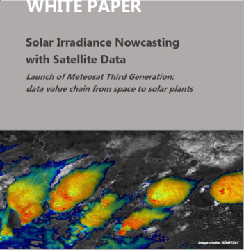 In this white paper, contributors Mathieu Turpin (Reuniwatt), Pilar Rípodas (AEMET) and Jochen Grandell (EUMETSAT) present the journey of satellite data from space to solar plant, following the launch of the Meteosat Third Generation Imager-1 (MTG-I1) – the first of a new generation of satellites providing crucial insights for the early detection and prediction of fast-developing severe storms, weather forecasting and climate monitoring.
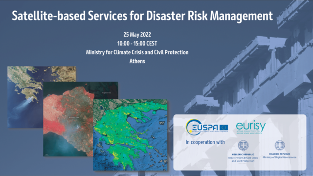 EUSPA together with Eurisy, in cooperation with the Greek Ministry for Climate Crisis and Civil Protection and Ministry of Digital Governance, organised a workshop in Greece to present operational satellite-based services for disaster risk management. In this report the outcomes of the event have been collected.