
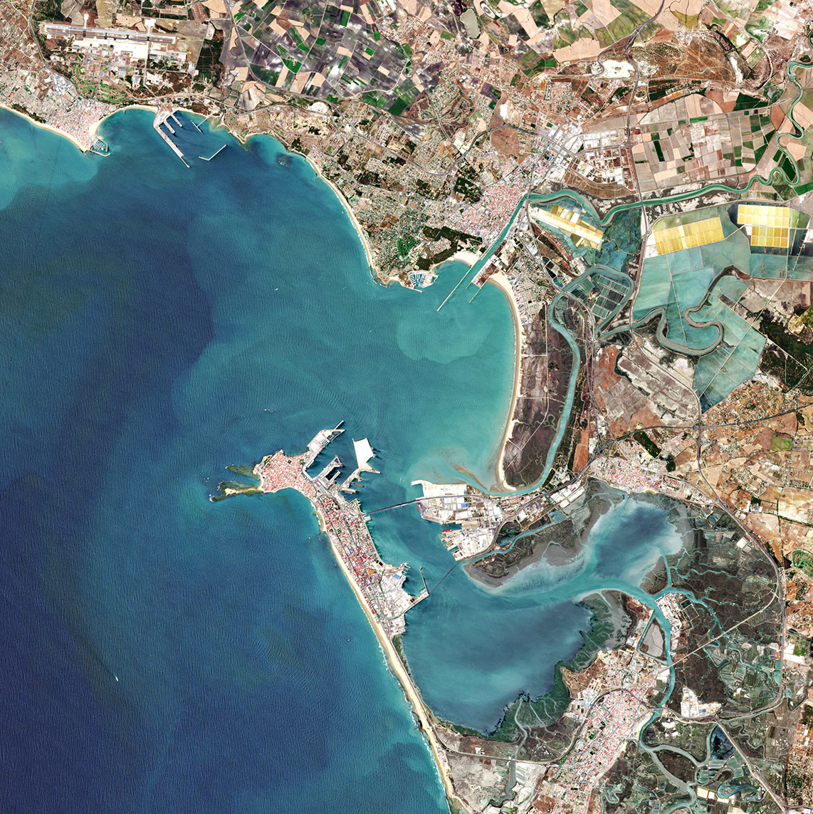
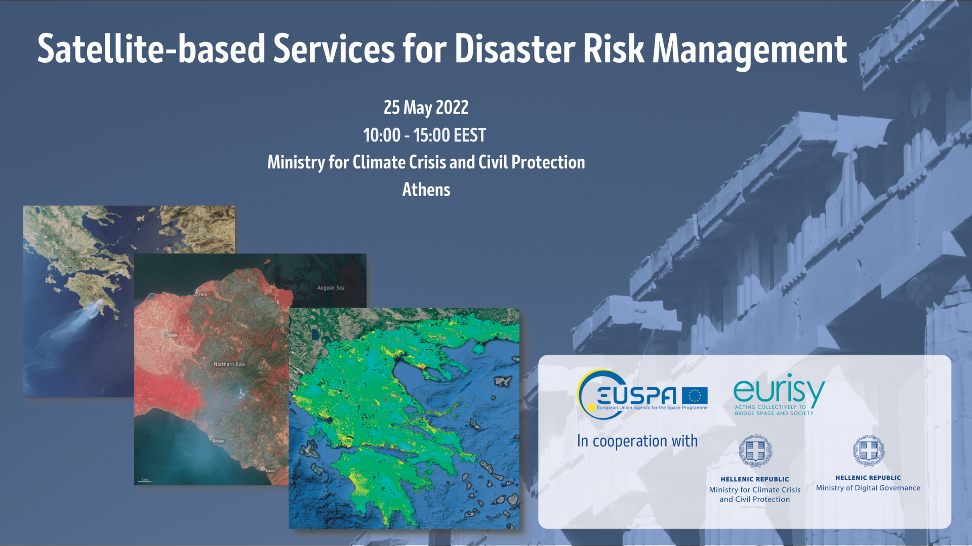
The workshop "Satellite-based Services for Disaster Risk Management" held on May 25th in Athens, aimed at creating a common understanding among Greek and European stakeholders of what satellite-based services can bring during the disaster management cycle and of how to facilitate the access and use of such solutions at national and regional levels.
Read more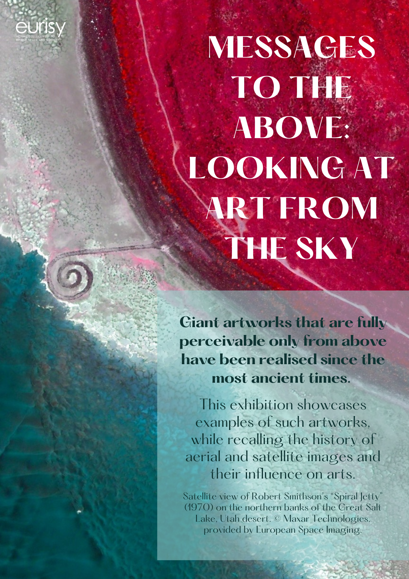
On the occasion of the Living Planet Symposium held in Bonn in May 2022, our report "Messages to the above: looking at art from the sky" became a poster exhibition.
Read more
It’s again that time of the year: it’s the International Astronautical Congress (IAC) time, the biggest space forum where global actors come together to learn about the most recent trends and developments in the space sector. This year Eurisy took part to the event as exhibitor and with three papers to IAC Technical Sessions.
Read more
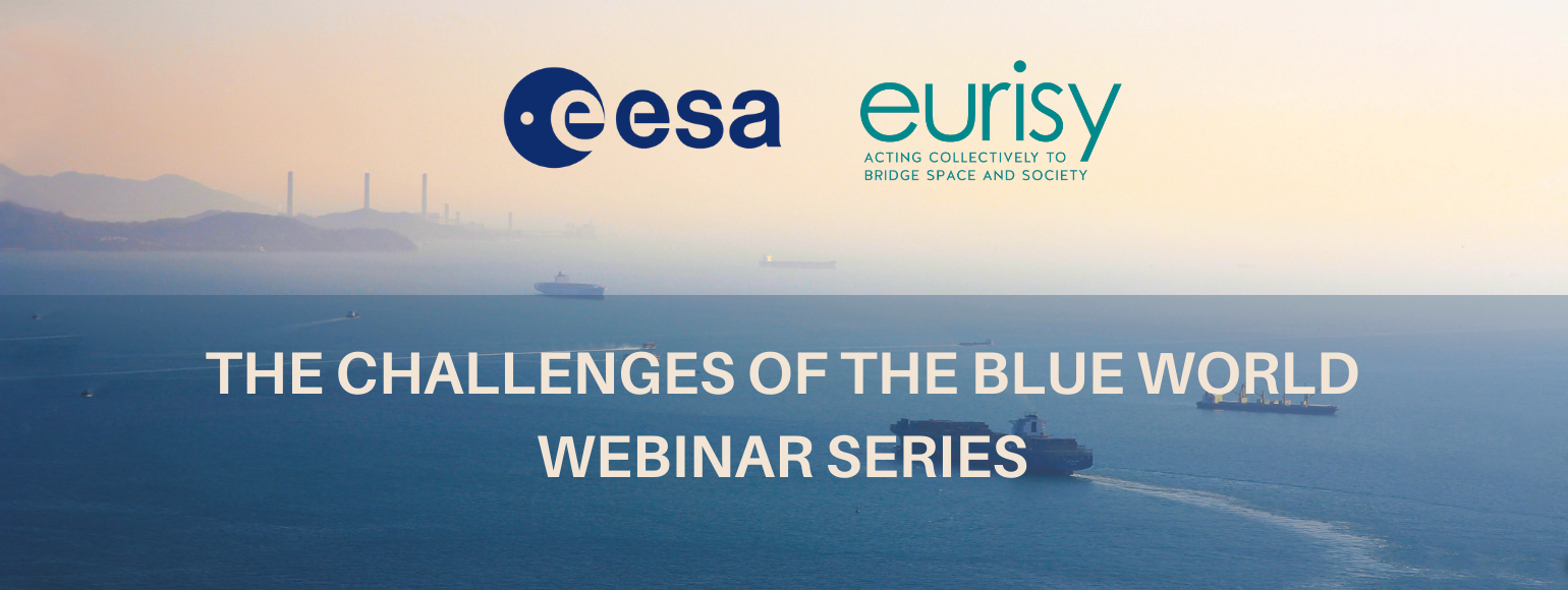
This webinar series, promoted by ESA in collaboration with Eurisy, will discuss the current challenges faced by maritime stakeholders, as well as how satellite-based solutions respond to emerging needs and trends. The webinar will gather around a virtual table local authority, NGOs, research centres, and industrial clusters from space and maritime domains.
Read more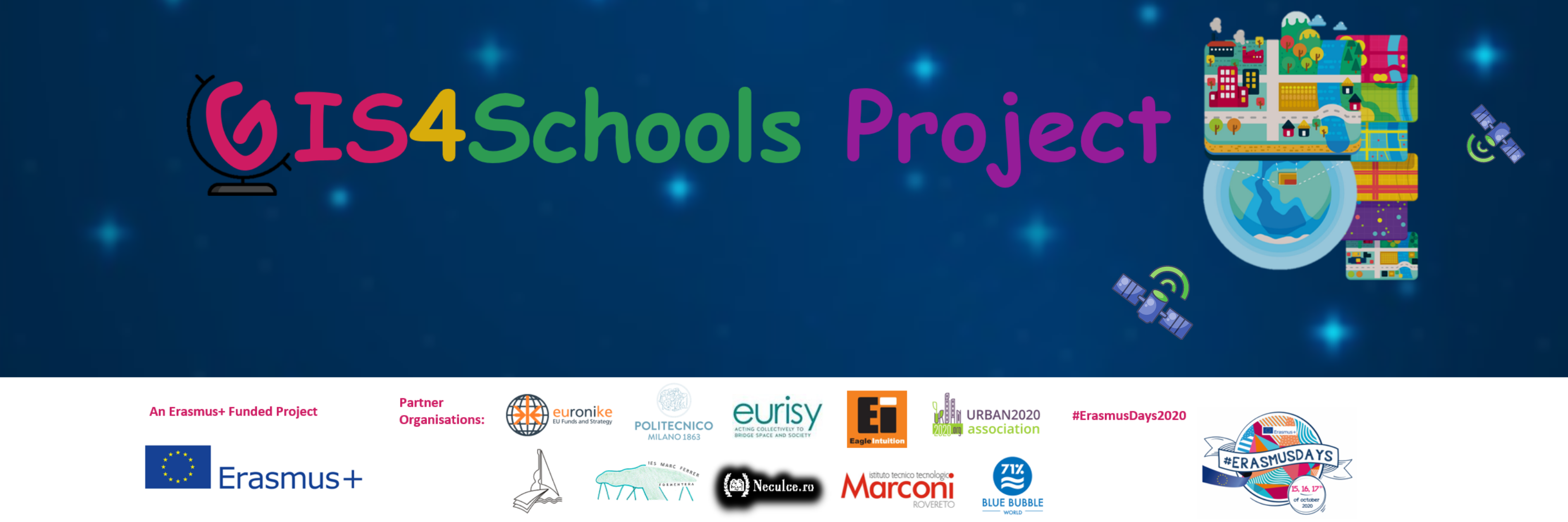
The improvement of STEAM education in Secondary Schools is the core objective of the Erasmus+ funded project “GIS4Schools”. Pupils will learn about GIS technology and how to use it to respond to climate change challenges. The project gives them the opportunity to use satellite data, provided by the European Earth Observation Programme Copernicus EU, at school.
Read more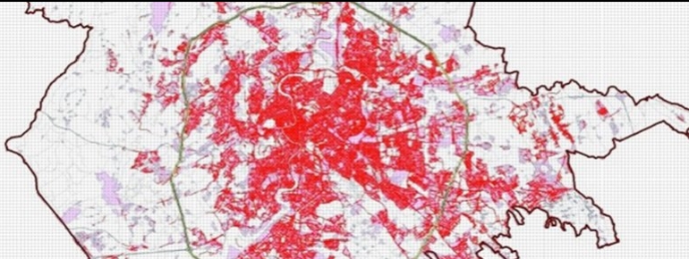
The use of Earth Observation (EO) data in civil engineering is not common. Yet, something is changing. Italian SME Survey Lab with its expertise in development, distribution and promotion of EO data and geomatics based monitoring systems, took the opportunity of H2020 project I.MODI, to demonstrate the importance of integrating different data streams into the map-based products used by civil engineers.
Read more