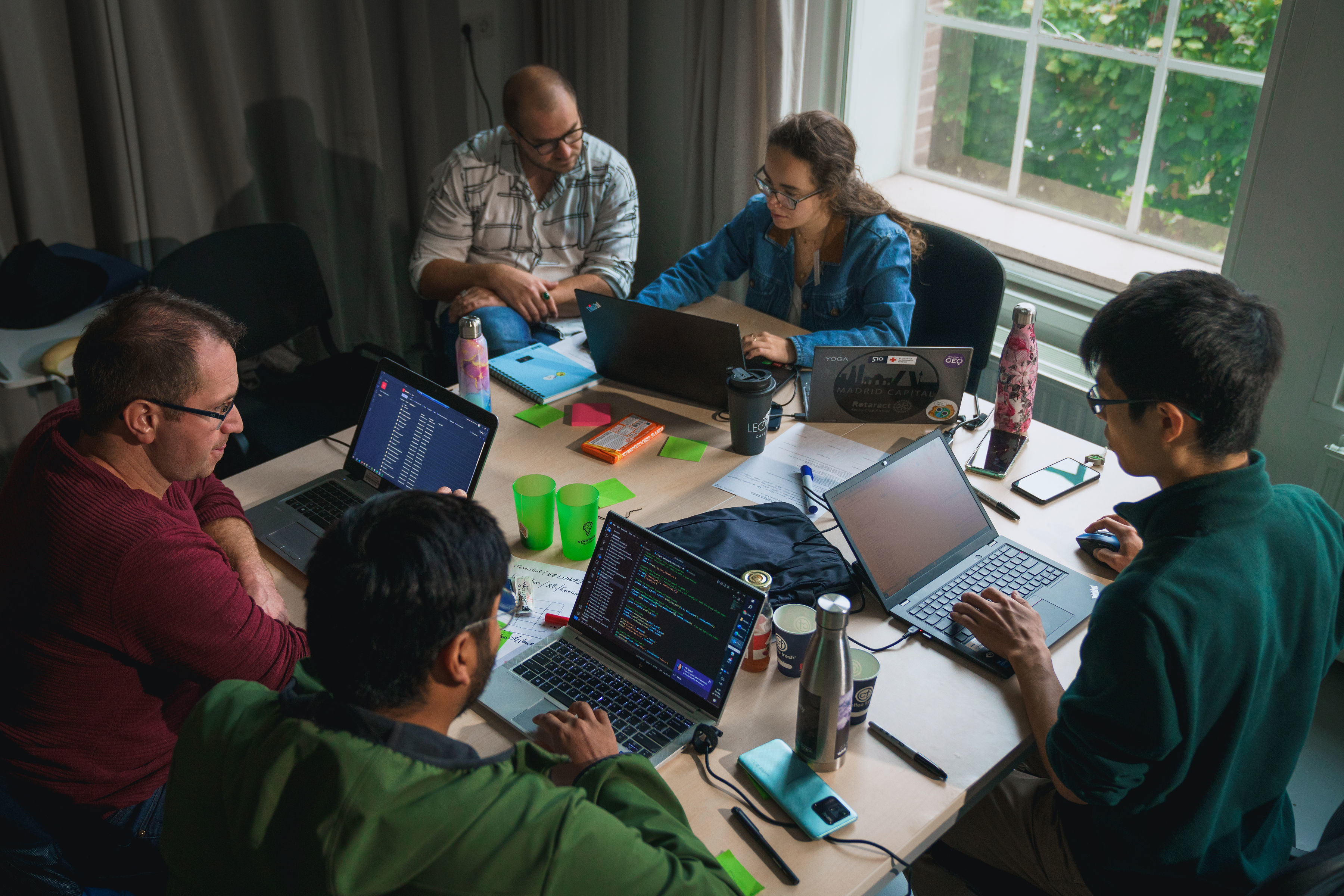
Hackathon puts Biodiversity on the Map

How can we use big data smartly to restore biodiversity? Five teams of experts, engineers, students and researchers pondered this question for 48 hours in the form of a Spatial Data for Biodiversity Hackathon held on 23-24 October 2023 at Ede, the Netherlands. The cooperation between Deltares, Eurisy, the Netherlands Space Office, Starthub and Wageningen University and Research allowed the teams to dive into the data for two uninterrupted days. The detective work not only yielded new insights about biodiversity in the Netherlands, but also demonstrated what role satellite imagery can play in this field.

Read more

GEO-Academy kick off meeting in Athens

GEO-Academy, an Erasmus+ funded project to enhance teachers green, digital, and spatial competencies, kicked off at the Ellinogermaniki Agogi school in Athens, Greece from the 28th to the 29th September 2023. Over 36 months, GEO-Academy hopes to empower over 2,000 pre- and in-service teachers at primary and secondary level with the knowledge, skills, and resources needed to incorporate Geospatial Information Systems (GIS) Earth Observation (EO), Remote Sensing (RS), and Geographic Storytelling within sustainability and climate education in schools.

Read more

(Re)Visit Europe with European Space Technologies

The third edition of the CASSINI Hackathons & Mentoring is here! From 12-14 May 2022, you will be challenged to develop ideas that support sustainable travel, enhance the experience in local cities and cultures, and promote thoughtful exploration of Europe’s nature. Discover how you can help the tourism industry to become more resilient and sustainable with digital satellite solutions!

Read more

Boosting the European education system with space and geospatial data

Eurisy recently joined as an associated partner the EO4GEO project. In the frame of this partnership, Eurisy aims at contributing to the acquisition of EO and GI skills for professionals and to stimulate the curiosity of the younger generation, also relying on the involvement of Eurisy in the Erasmus+ GIS4Schools Project.

Read more

GIS4Schools: Paving the way for the school of the future

The GIS4Schools project is about to define the school of tomorrow! The Erasmus+ funded project aims at promoting a new innovative approach to foster the teaching of STEAM topics in secondary schools. Pupils will have the opportunity to learn about GIS technology and how to use GIS to respond to climate change challenges.

Read more

The Week of Geospatial Information (GI)

The Week of GI-Education for the Future aims to bring together teachers, experts, practitioners and students to present and discuss recent advances in GI-education and think about GI-education for the future.

Read more
Load more