Satellite-based Services for Disaster Risk Management

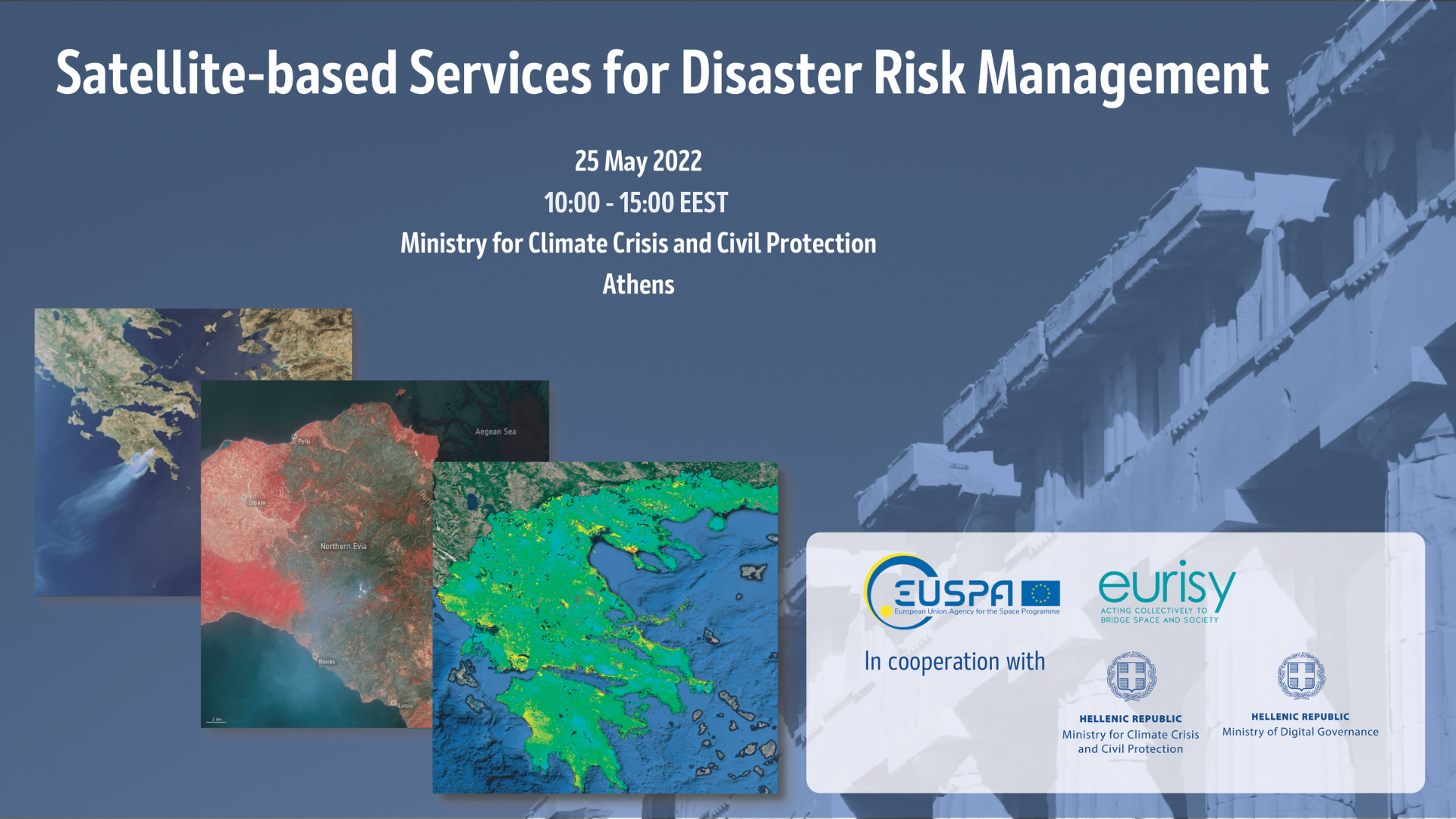
The workshop "Satellite-based Services for Disaster Risk Management" held on May 25th in Athens, aimed at creating a common understanding among Greek and European stakeholders of what satellite-based services can bring during the disaster management cycle and of how to facilitate the access and use of such solutions at national and regional levels.

Read more

Copernicus and me

Eurisy and CNES are looking for public and private organisations using Copernicus data and services to be featured in case studies and short videos. Submit your story today!

Read more

GIS4Schools: Improving STEAM Education in Secondary Schools

The improvement of STEAM education in Secondary Schools is the core objective of the Erasmus+ funded project “GIS4Schools”. Pupils will learn about GIS technology and how to use it to respond to climate change challenges. The project gives them the opportunity to use satellite data, provided by the European Earth Observation Programme Copernicus EU, at school.

Read more

Eurisy as Regional Associate for the Copernicus & Galileo Masters 2020

As a Regional Associate 2020, Eurisy is proud to support the awarding of innovative solutions, developments and ideas that use EO and satellite navigation data to tackle challenges faced by business and society. As a regional associate we are part of the constantly growing EO community as well as the space business ecosystem.

Read more
Load more