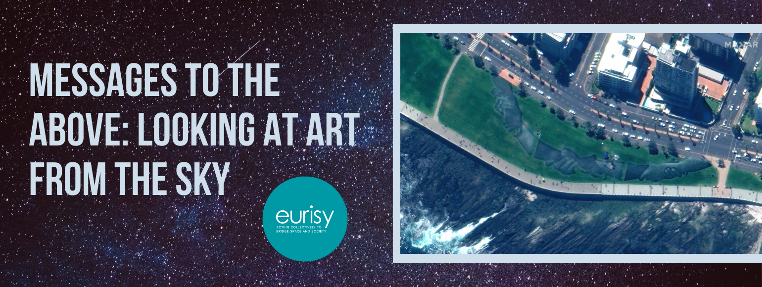
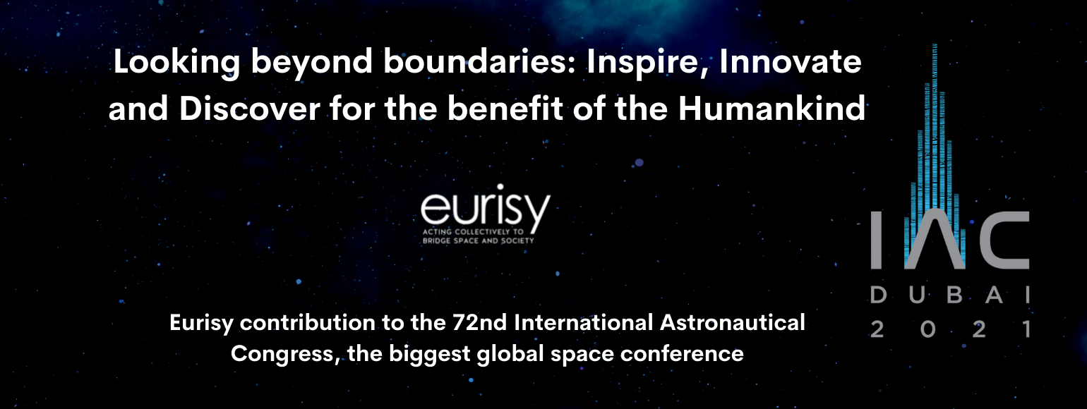
Satellite tracking in outdoor team sports

Performance tracking devices have set foot on all levels in outdoor team sport. Our recent series of success stories demonstrates how satellite tracking is being deployed in different sports and on multiple levels. In this highlight, we put the spotlight on the satellite component behind the trend.

Read more

Boosting the European education system with space and geospatial data

Eurisy recently joined as an associated partner the EO4GEO project. In the frame of this partnership, Eurisy aims at contributing to the acquisition of EO and GI skills for professionals and to stimulate the curiosity of the younger generation, also relying on the involvement of Eurisy in the Erasmus+ GIS4Schools Project.

Read more

GIS4Schools: Paving the way for the school of the future

The GIS4Schools project is about to define the school of tomorrow! The Erasmus+ funded project aims at promoting a new innovative approach to foster the teaching of STEAM topics in secondary schools. Pupils will have the opportunity to learn about GIS technology and how to use GIS to respond to climate change challenges.

Read more

Eurisy Members’ Day goes digital!

The Members’ Day is a yearly appointment on the agenda of Eurisy members. This event represents a unique opportunity to interact with peers, exchange views on national initiatives, network, explore synergies, and boost cooperation across Europe. Discover this year's edition!

Read more
Load more